UN/LOCODE hub · Georgia
GEPTI
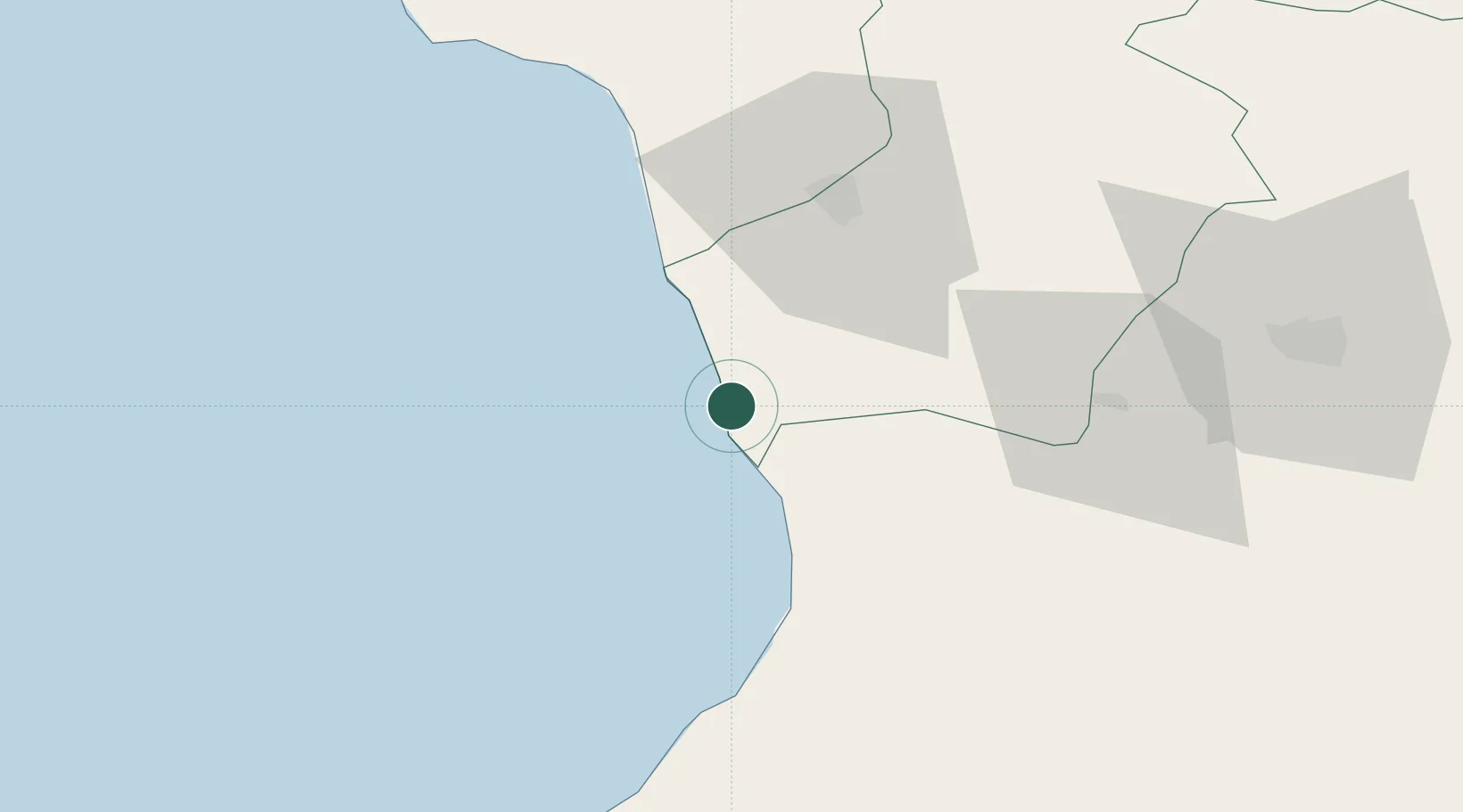
Poti
42.1653°, 41.6691°
41,175
Population
1
Transport functions
2
Container terminals
Transport Functions
Port
Hub Profile
Place type
Provincial seat
Region
Samegrelo and Zemo Svaneti
Population
41,175
Time zone
Asia/Tbilisi
Elevation
6 m
Logistics facilities
25
Container terminals
2
Location
Nearby Logistics Neighbours
Cities
- 1Kulevi12 km
- 2Sup'sa18 km
- 3Anaklia27 km
- 4Tsalenjikha35 km
- 5Senaki35 km
Ports
- 1Supsa Marine Terminal8 km
- 2Batumi57 km
- 3Hopa86 km
- 4Sokhumi107 km
- 5Rize155 km
Airports
Trade Zones
DatabookThe Record of Consolidated Knowledge
Georgia beyond logistics?