Transport Functions
Port
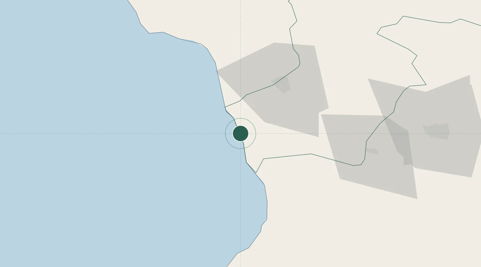
Location
Nearby Logistics Neighbours
Cities
- 1Poti12 km
- 2Anaklia15 km
- 3Sup'sa29 km
- 4Zugdidi32 km
- 5Tsalenjikha36 km
Ports
- 1Supsa Marine Terminal20 km
- 2Batumi69 km
- 3Sokhumi96 km
- 4Hopa97 km
- 5Rize163 km
Airports
Trade Zones
DatabookThe Record of Consolidated Knowledge
Georgia beyond logistics?