Large airport · Georgia

David the Builder Kutaisi International AirportUGKO
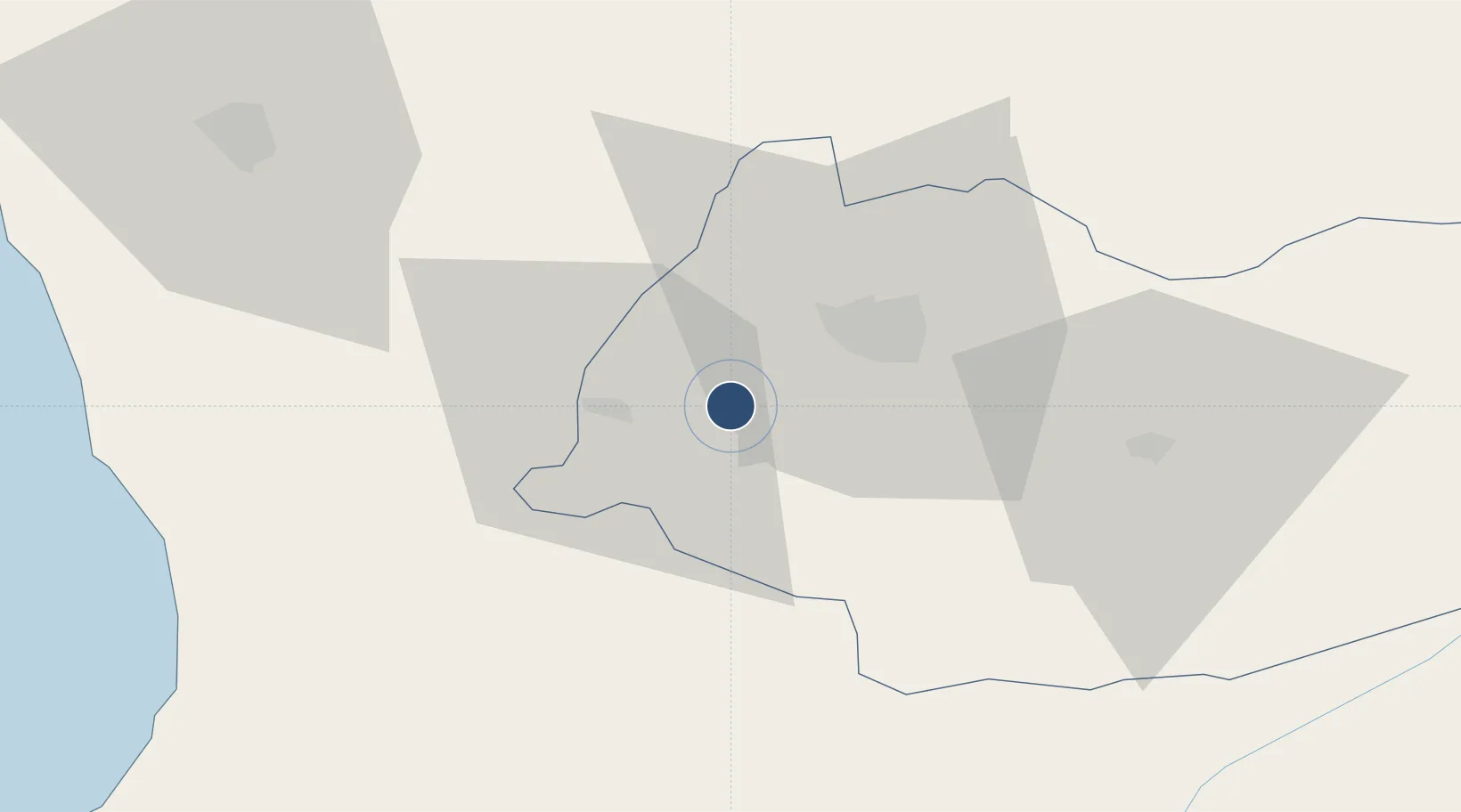
42.1774°, 42.4854°
8,202 ft
Longest runway
1
Runways
223 ft
Elevation

Runway & Layout

David the Builder Kutaisi International Airport runway & taxiway layout
Runway & taxiway layout — OpenStreetMap (ODbL) / OurAirports

Radio Frequencies

TWR
125.5 MHz
KUTAISI TWR
OurAirports

Navaids

KTS VOR-DME Kutaisi 113.60 MHz
TIG NDB Kutaisi 477 kHz
UY NDB Kutaisi 842 kHz
OurAirports

Runways · 1

RunwayDimensions SurfaceTrue headingLit
07/25 8,202 × 144ft Concrete 081°
OurAirports

Airport Specifications

IATA code
KUT
OurAirports
ICAO code
UGKO
OurAirports
Airport class
Large airport
OurAirports
Scheduled service
Yes
OurAirports
Runway surface
Concrete
OurAirports
Served city
Kopitnari
OurAirports

Location

Location of UGKO
Natural Earth 10m (public domain) · Imereti · UGKO · 42.18, 42.49GoogleOSMYandex

Nearby Logistics Neighbours

Airports
  1. 1Senaki Air Base37 km
  2. 2Ozurgeti Air Base58 km
  3. 3Ambrolauri Airport66 km
  4. 4Alexander Kartveli Batumi International Airport97 km
  5. 5Mestia Queen Tamar Airport100 km
Nearest neighbours — logibook spatial index (haversine) over the source coordinates
Cities
  1. 1Samtredia13 km
  2. 2Tsalenjikha36 km
  3. 3Senaki36 km
  4. 4Zestap'oni47 km
  5. 5Shorapani52 km
Nearest neighbours — logibook spatial index (haversine) over the source coordinates
Ports
  1. 1Supsa Marine Terminal64 km
  2. 2Batumi91 km
  3. 3Hopa124 km
  4. 4Sokhumi152 km
  5. 5Rize205 km
Nearest neighbours — logibook spatial index (haversine) over the source coordinates
Trade Zones
  1. 1Kutaisi Free Industrial Zone - Fresh Georgia, LLC.14 km
  2. 2Kutaisi Free Industrial Zone (Hualing)15 km
  3. 3Poti Free Industrial Zone68 km
  4. 4Kulevi Free Industrial Zone70 km
  5. 5Gyumri Eurasian Logistic Park194 km
Nearest neighbours — logibook spatial index (haversine) over the source coordinates
DatabookThe Record of Consolidated Knowledge
Georgia beyond logistics?
Browse databook

All Sources

AirportsOurAirports
Public domain
Portsthe NGA World Port Index
Public domain (US gov)
LocationsUN/LOCODE
UN/LOCODE — free
Trade Zonesthe World Bank SEZ database
CC BY 4.0
Trade ZonesOpen Zone Map
CC BY
InfrastructureOpenStreetMap
ODbL 1.0
← Georgia airports