Runway & Layout

Airport Specifications
Airport class
Medium airport
Scheduled service
No
Served city
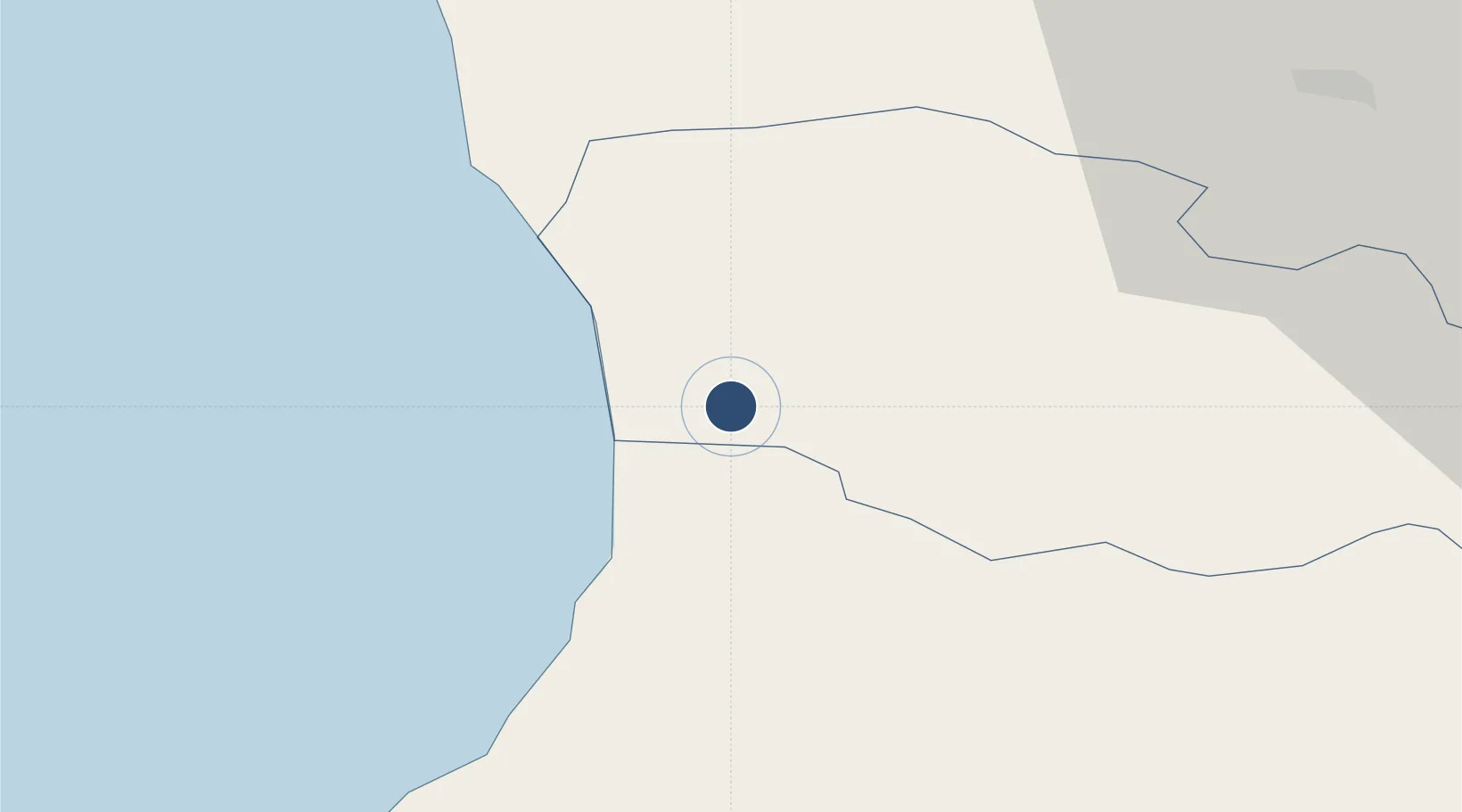
Ozurgeti
Location
Nearby Logistics Neighbours
Airports
Cities
- 1Sup'sa13 km
- 2Poti31 km
- 3Batumi36 km
- 4Tsalenjikha41 km
- 5Senaki41 km
Ports
- 1Supsa Marine Terminal23 km
- 2Batumi36 km
- 3Hopa69 km
- 4Sokhumi138 km
- 5Rize148 km
Trade Zones
DatabookThe Record of Consolidated Knowledge
Georgia beyond logistics?