Transport Functions
Port
Road
Airport
Hub Profile
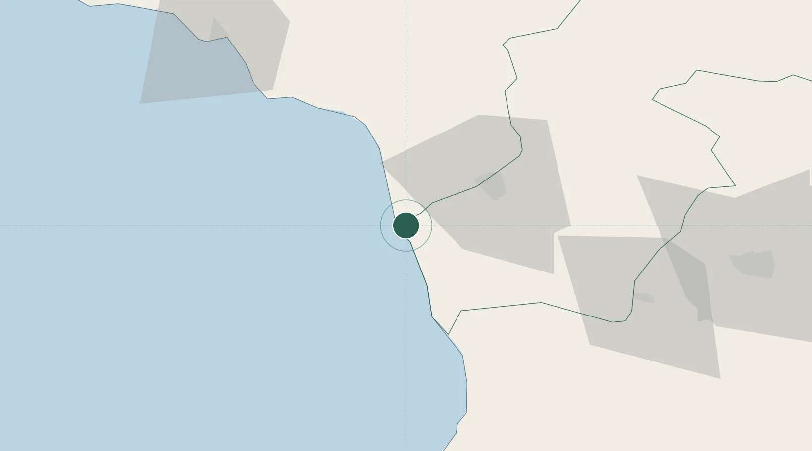
Place type
Populated place
Region
Samegrelo and Zemo Svaneti
Population
1,300
Time zone
Asia/Tbilisi
Elevation
-1 m
Location
Nearby Logistics Neighbours
Cities
- 1Kulevi15 km
- 2Zugdidi26 km
- 3Poti27 km
- 4Tsalenjikha42 km
- 5Senaki42 km
Ports
- 1Supsa Marine Terminal35 km
- 2Sokhumi81 km
- 3Batumi84 km
- 4Hopa110 km
- 5Rize173 km
Airports
Trade Zones
DatabookThe Record of Consolidated Knowledge
Georgia beyond logistics?