UN/LOCODE hub · France
FRSLA

Gare Saint-Laud/Angers

47.4667°, -0.5500°
1
Transport functions

Transport Functions

Rail
UN/LOCODE

Hub Profile

Region
49
GeoNames

Location

Location of FRSLA
Natural Earth 10m (public domain) · 49 · FRSLA · 47.47, -0.55GoogleOSMYandex

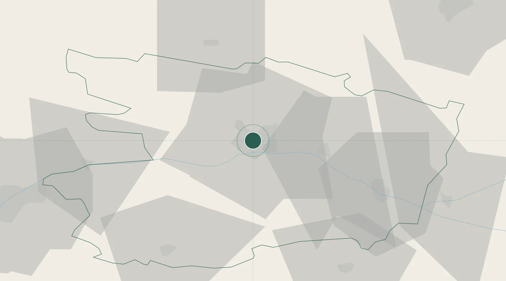
Nearby Logistics Neighbours

Cities
  1. 1Angers0 km
  2. 2Sainte-Gemmes-sur-Loire6 km
  3. 3Beaucouzé6 km
  4. 4Mûrs-Erigné7 km
  5. 5Écouflant8 km
Nearest neighbours — logibook spatial index (haversine) over the source coordinates
Ports
  1. 1Nantes82 km
  2. 2Donges116 km
  3. 3Montoir121 km
  4. 4St Nazaire126 km
  5. 5Les Sables D' Olonne143 km
Nearest neighbours — logibook spatial index (haversine) over the source coordinates
Airports
  1. 1Angers Marcé airport21 km
  2. 2Laval-Entrammes Airport65 km
  3. 3Le Mans-Arnage Airport78 km
  4. 4Nantes Atlantique Airport87 km
  5. 5Tours Val de Loire Airport96 km
Nearest neighbours — logibook spatial index (haversine) over the source coordinates
Trade Zones
  1. 1ZFU Angers4 km
  2. 2ZFU Le Mans76 km
  3. 3ZFU Nantes et Saint-Herblain91 km
  4. 4ZFU Alençon117 km
  5. 5ZFU Saint-Nazaire132 km
Nearest neighbours — logibook spatial index (haversine) over the source coordinates
DatabookThe Record of Consolidated Knowledge
France beyond logistics?
Browse databook

All Sources

LocationsUN/LOCODE
UN/LOCODE — free
Portsthe NGA World Port Index
Public domain (US gov)
AirportsOurAirports
Public domain
Trade Zonesthe World Bank SEZ database
CC BY 4.0
Trade ZonesOpen Zone Map
CC BY
← France locations