Transport Functions
Port
Road
Hub Profile
Place type
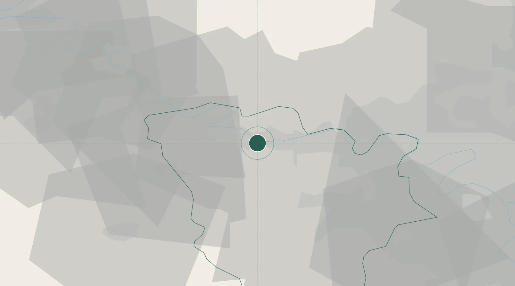
Populated place
Region
Île-de-France
Population
18,559
Time zone
Europe/Paris
Elevation
52 m
Logistics facilities
2
Location
Nearby Logistics Neighbours
Cities
- 1Mantes-la-Jolie2 km
- 2Guerville3 km
- 3Mézières-sur-Seine4 km
- 4Issou4 km
- 5Magnanville5 km
Ports
- 1Port Of Rouen72 km
- 2Dieppe117 km
- 3Honfleur122 km
- 4Le Treport125 km
- 5Deauville129 km
Airports
Trade Zones
- 1ZFU Mantes-la-Jolie3 km
- 2ZFU Les Mureaux11 km
- 3ZFU Trappes29 km
- 4ZFU Sartrouville30 km
- 5ZFU Argenteuil35 km
DatabookThe Record of Consolidated Knowledge
France beyond logistics?