UN/LOCODE hub · France
FRTMG

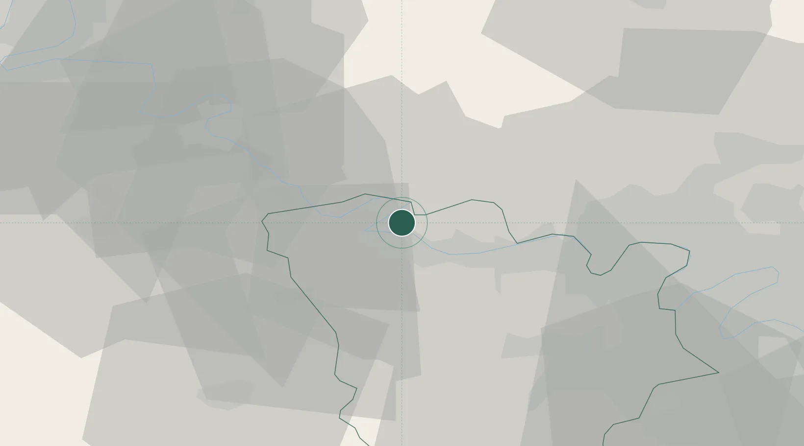
Saint-Martin-la-Garenne

49.0333°, 1.6833°
807
Population
2
Transport functions

Transport Functions

Port
Road
UN/LOCODE

Hub Profile

Place type
Populated place
GeoNames
Region
Île-de-France
GeoNames
Population
807
GeoNames
Time zone
Europe/Paris
GeoNames
Elevation
57 m
GeoNames

Location

Location of FRTMG
Natural Earth 10m (public domain) · Île-de-France · FRTMG · 49.03, 1.68GoogleOSMYandex

Nearby Logistics Neighbours

Cities
  1. 1Sandrancourt2 km
  2. 2Mantes-la-Jolie6 km
  3. 3Bonnières-sur-Seine7 km
  4. 4Magnanville7 km
  5. 5Limay8 km
Nearest neighbours — logibook spatial index (haversine) over the source coordinates
Ports
  1. 1Port Of Rouen64 km
  2. 2Dieppe109 km
  3. 3Honfleur115 km
  4. 4Le Treport117 km
  5. 5Deauville122 km
Nearest neighbours — logibook spatial index (haversine) over the source coordinates
Airports
  1. 1Pontoise-Cormeilles Aerodrome27 km
  2. 2Évreux-Fauville (BA 105) Air Base34 km
  3. 3Toussus-le-Noble Airport44 km
  4. 4Vélizy-Villacoublay Air Base48 km
  5. 5Rouen Vallée de Seine Airport54 km
Nearest neighbours — logibook spatial index (haversine) over the source coordinates
Trade Zones
  1. 1ZFU Mantes-la-Jolie5 km
  2. 2ZFU Les Mureaux16 km
  3. 3ZFU Sartrouville36 km
  4. 4ZFU Trappes37 km
  5. 5ZFU Dreux et Sainte-Gemme-Moronval39 km
Nearest neighbours — logibook spatial index (haversine) over the source coordinates
DatabookThe Record of Consolidated Knowledge
France beyond logistics?
Browse databook

All Sources

LocationsUN/LOCODE
UN/LOCODE — free
LocationsGeoNames
CC BY 4.0
Portsthe NGA World Port Index
Public domain (US gov)
AirportsOurAirports
Public domain
Trade Zonesthe World Bank SEZ database
CC BY 4.0
Trade ZonesOpen Zone Map
CC BY
← France locations