Transport Functions
Port
Hub Profile
Place type
Populated place
Region
Île-de-France
Population
1,990
Time zone
Europe/Paris
Elevation
92 m
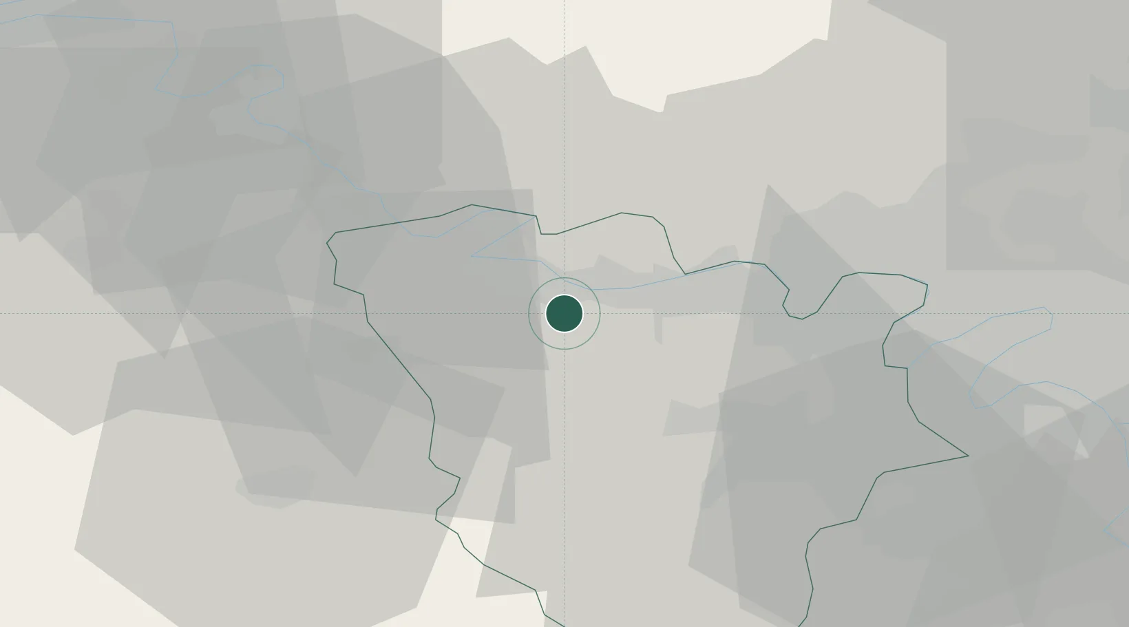
Location
Nearby Logistics Neighbours
Cities
- 1Limay3 km
- 2Mantes-la-Jolie4 km
- 3Magnanville4 km
- 4Jumeauville5 km
- 5Mézières-sur-Seine5 km
Ports
- 1Port Of Rouen74 km
- 2Dieppe119 km
- 3Honfleur122 km
- 4Le Treport127 km
- 5Deauville129 km
Airports
Trade Zones
- 1ZFU Mantes-la-Jolie5 km
- 2ZFU Les Mureaux12 km
- 3ZFU Trappes27 km
- 4ZFU Sartrouville31 km
- 5ZFU Dreux et Sainte-Gemme-Moronval34 km
DatabookThe Record of Consolidated Knowledge
France beyond logistics?