Transport Functions
Road
Multimodal
Hub Profile
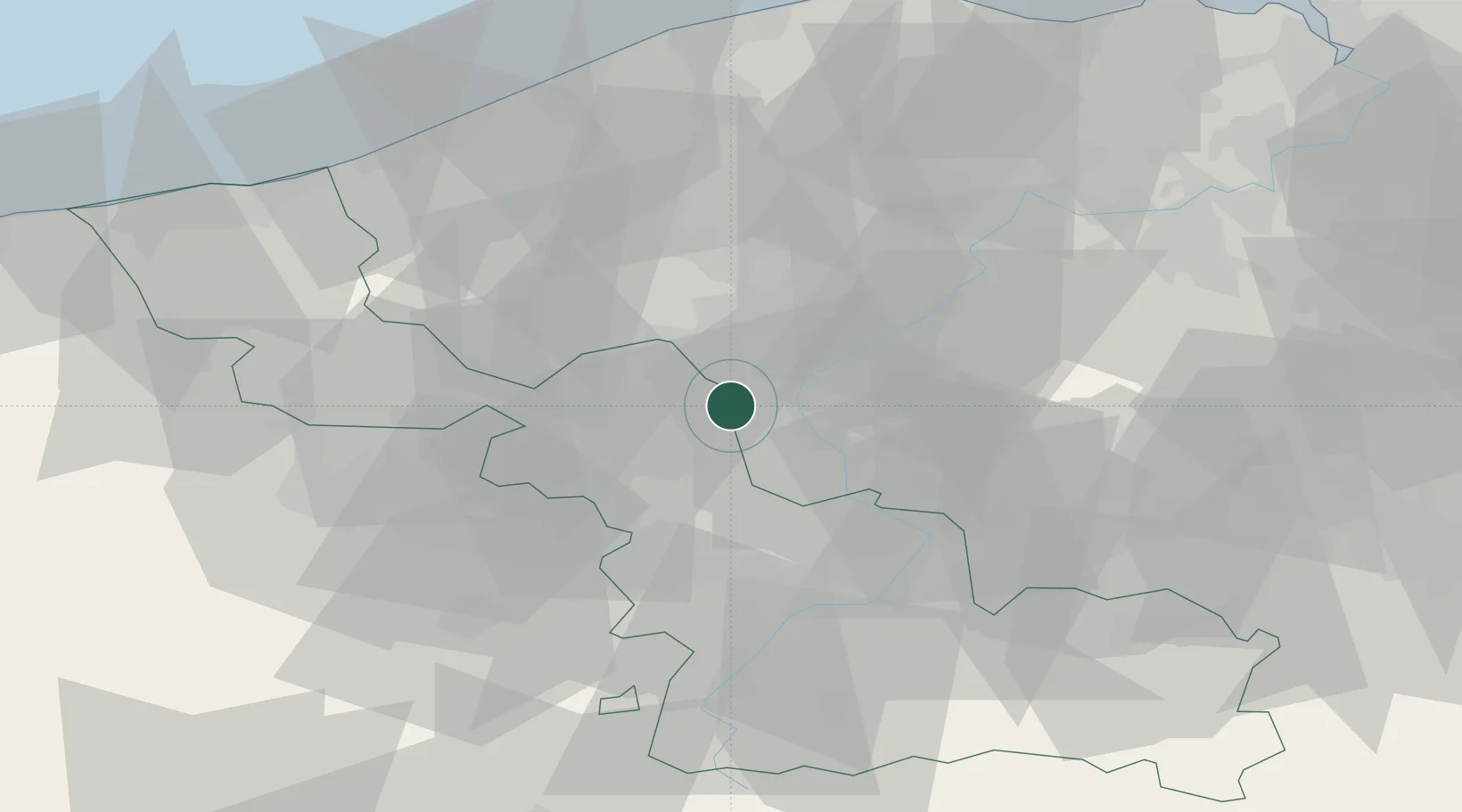
Place type
Populated place
Region
Hauts-de-France
Population
3,931
Time zone
Europe/Paris
Elevation
38 m
Location
Nearby Logistics Neighbours
Cities
- 1Lannoy3 km
- 2Estaimpuis4 km
- 3Roubaix4 km
- 4Chéreng6 km
- 5Ramegnies-Chin6 km
Ports
- 1Ghent57 km
- 2Nieuwpoort62 km
- 3Bruges63 km
- 4Oostende67 km
- 5Zeebrugge74 km
Airports
Trade Zones
DatabookThe Record of Consolidated Knowledge
France beyond logistics?