UN/LOCODE hub · France
FRMWB
Morschwiller-le-Bas
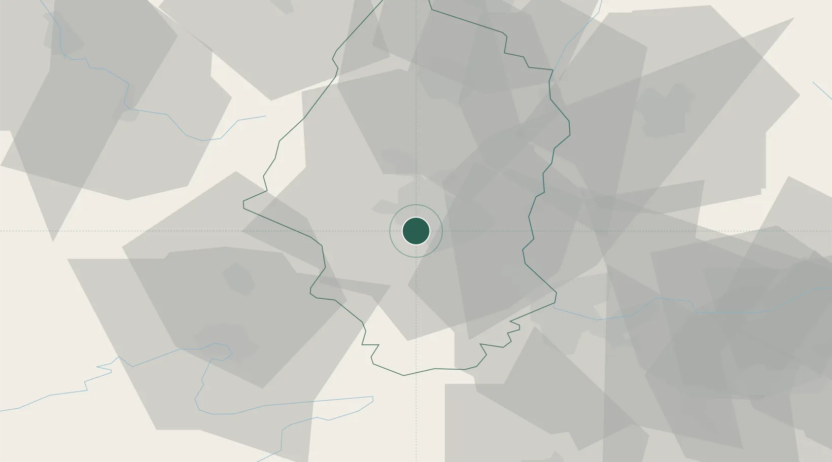
47.7500°, 7.2667°
2,754
Population
1
Transport functions
Transport Functions
Multimodal
Hub Profile
Place type
Populated place
Region
Grand Est
Population
2,754
Time zone
Europe/Paris
Elevation
266 m
Location
Nearby Logistics Neighbours
Cities
- 1Richwiller4 km
- 2Mulhouse Nord4 km
- 3Pfastatt5 km
- 4Mulhouse5 km
- 5Schweighouse-Thann8 km
Ports
- 1Savona393 km
- 2Genova394 km
- 3Rada Di Vado398 km
- 4Bruxelles406 km
- 5Chiavari - Lavagna415 km
Airports
Trade Zones
- 1ZFU Mulhouse5 km
- 2ZFU Belfort36 km
- 3ZFU Montbéliard45 km
- 4ZFU Neuhof95 km
- 5ZFU Hautepierre99 km
DatabookThe Record of Consolidated Knowledge
France beyond logistics?