Transport Functions
Port
Rail
Airport
Postal
Hub Profile
Place type
District seat
Region
Grand Est
Population
111,430
Time zone
Europe/Paris
Elevation
238 m
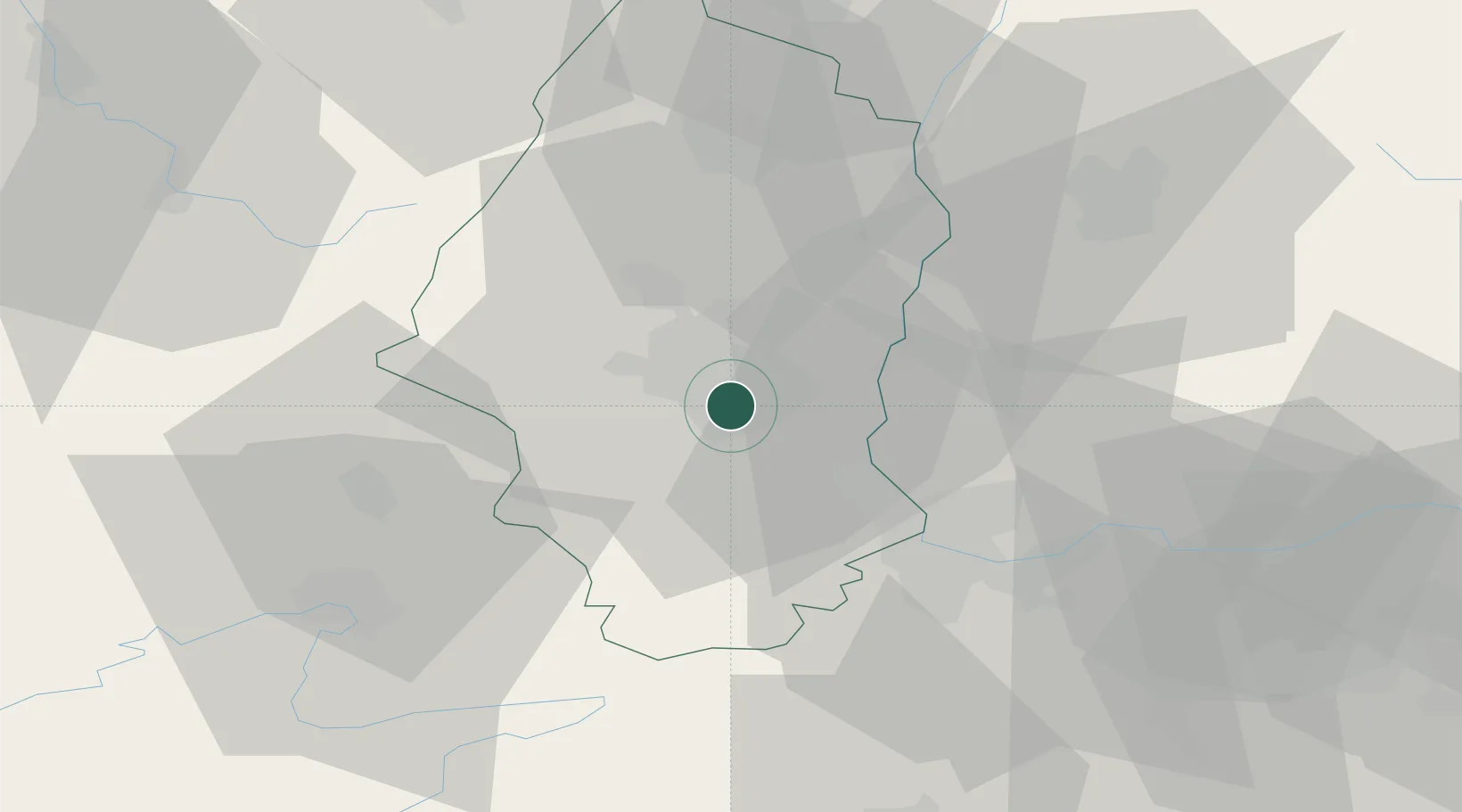
Location
Nearby Logistics Neighbours
Cities
- 1Mulhouse Nord2 km
- 2Pfastatt5 km
- 3Morschwiller-le-Bas5 km
- 4Richwiller5 km
- 5Habsheim7 km
Ports
- 1Savona392 km
- 2Genova392 km
- 3Rada Di Vado397 km
- 4Bruxelles408 km
- 5Chiavari - Lavagna413 km
Airports
Trade Zones
- 1ZFU Mulhouse0 km
- 2ZFU Belfort41 km
- 3ZFU Montbéliard49 km
- 4ZFU Neuhof94 km
- 5ZFU Hautepierre98 km
DatabookThe Record of Consolidated Knowledge
France beyond logistics?