Transport Functions
Rail
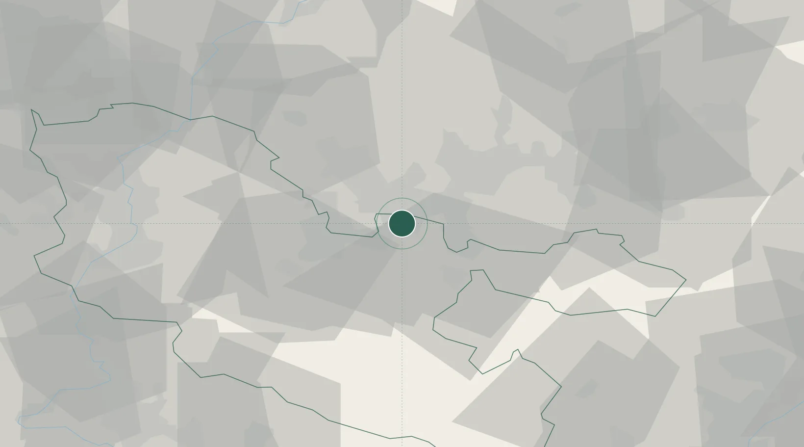
Hub Profile
Place type
District seat
Region
Grand Est
Population
21,358
Time zone
Europe/Paris
Elevation
208 m
Location
Nearby Logistics Neighbours
Cities
- 1Stiring-Wendel3 km
- 2Morsbach3 km
- 3Behren-lès-Forbach4 km
- 4Grossrosseln5 km
- 5Béning-lès-Saint-Avold7 km
Airports
Trade Zones
- 1ZFU La Cité Behren-lès-Forbach3 km
- 2ZFU Metz54 km
- 3ZFU Woippy-Metz55 km
- 4Luxembourg Free Port71 km
- 5ZFU Maxéville, Laxou, et de Nancy76 km
DatabookThe Record of Consolidated Knowledge
France beyond logistics?