Medium airport · Ethiopia
Bahir Dar AirportHABD
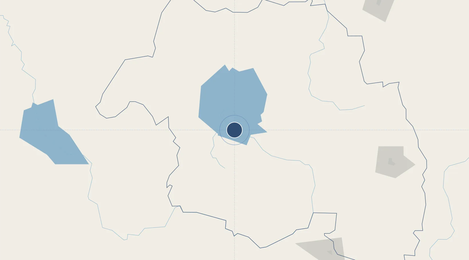
11.6081°, 37.3216°
9,842 ft
Longest runway
1
Runways
5,978 ft
Elevation
Runway & Layout

Radio Frequencies
TWR
118.3 MHz
GND
121.9 MHz
Navaids
BD NDB Bahir Dar 212 kHz
LLB NDB Lalibella 390 kHz
TN NDB Bahir Dar 420 kHz
Runways · 1
| Runway | Dimensions | Surface | True heading | Lit |
|---|---|---|---|---|
| 04/22 | 9,842 × 148ft | Asphalt / concrete | 045° | ✓ |
Airport Specifications
IATA code
BJR
ICAO code
HABD
Airport class
Medium airport
Scheduled service
Yes
Runway surface
Asphalt / concrete
Served city
Bahir Dar
Location
Nearby Logistics Neighbours
Airports
- 1Gondar Airport102 km
- 2Kombolcha Airport268 km
- 3Shire Inda Selassie Airport293 km
- 4Mekele Alula Aba Nega Airport317 km
- 5Axum Airport323 km
Cities
- 1Mojo388 km
- 2Mojo Dry Port392 km
- 3Dubti410 km
- 4Asmara449 km
- 5Massawa (Mitsiwa)500 km
Ports
- 1Mitsiwa Harbor502 km
- 2Assab610 km
- 3Doraleh628 km
- 4Djibouti633 km
- 5Al Mukha671 km
Trade Zones
- 1Bahir Dar Industrial Park6 km
- 2Gallabat Free Zone197 km
- 3Kombolcha Industrial Development Zone266 km
- 4Mekelle Industrial Park309 km
- 5DBL Industrial Park309 km
DatabookThe Record of Consolidated Knowledge
Ethiopia beyond logistics?