UN/LOCODE hub · Estonia
EEPLS

Paldiski Lõunasadam

59.3333°, 24.0833°
2
Transport functions

Transport Functions

Port
Border Crossing
Paldiski Lõunasadam is also a profiled seaport →
UN/LOCODE

Hub Profile

Region
37
GeoNames

Location

Location of EEPLS
Natural Earth 10m (public domain) · 37 · EEPLS · 59.33, 24.08GoogleOSMYandex

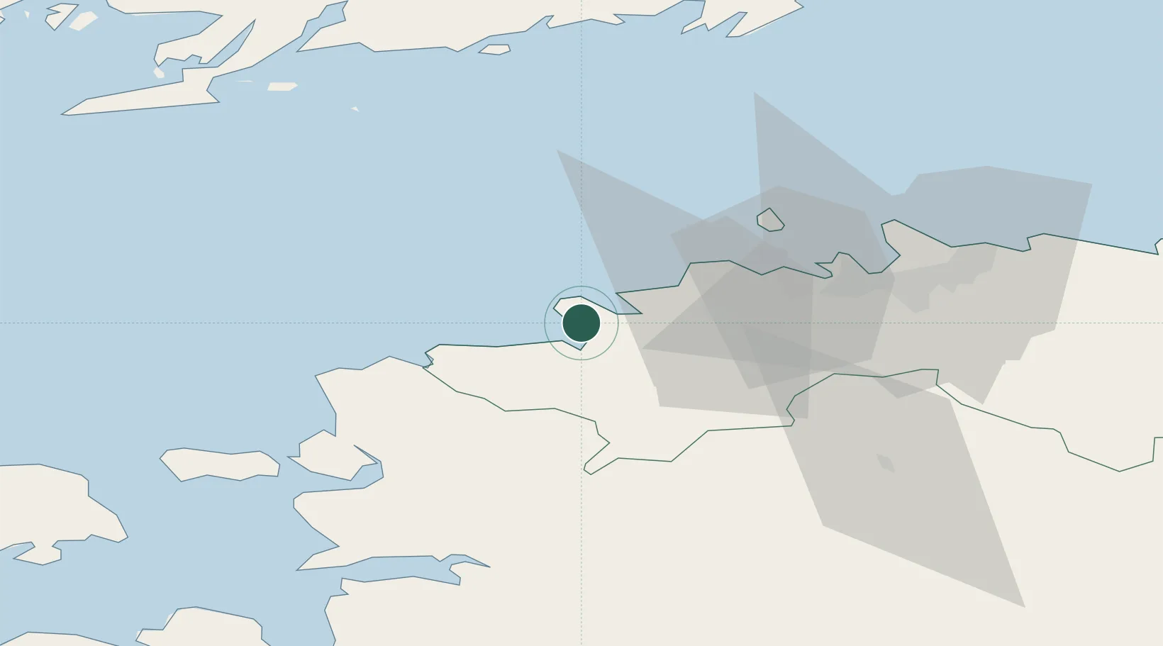
Nearby Logistics Neighbours

Cities
  1. 1Paldiski3 km
  2. 2Paldiski Põhjasadam3 km
  3. 3Kurkse8 km
  4. 4Lohusalu11 km
  5. 5Manilaiu13 km
Nearest neighbours — logibook spatial index (haversine) over the source coordinates
Ports
  1. 1Paldiski Pohjasadam3 km
  2. 2Vene-Balti35 km
  3. 3Bekkeri36 km
  4. 4Meeruse36 km
  5. 5Lahesuu38 km
Nearest neighbours — logibook spatial index (haversine) over the source coordinates
Airports
  1. 1Ämari Air Base11 km
  2. 2Tallinn Linnahall Heliport40 km
  3. 3Lennart Meri Tallinn Airport43 km
  4. 4Kärdla Airport81 km
  5. 5Pärnu Airport104 km
Nearest neighbours — logibook spatial index (haversine) over the source coordinates
Trade Zones
  1. 1Paldiski Free Zone0 km
  2. 2Muuga Free Zone53 km
  3. 3Freeport of Hanko87 km
  4. 4Turku Free Zone162 km
  5. 5Port of Hamina-Kotka203 km
Nearest neighbours — logibook spatial index (haversine) over the source coordinates
DatabookThe Record of Consolidated Knowledge
Estonia beyond logistics?
Browse databook

All Sources

LocationsUN/LOCODE
UN/LOCODE — free
Portsthe NGA World Port Index
Public domain (US gov)
AirportsOurAirports
Public domain
Trade Zonesthe World Bank SEZ database
CC BY 4.0
Trade ZonesOpen Zone Map
CC BY
← Estonia locations