Transport Functions
Port
Border Crossing
Hub Profile
Place type
Populated place
Region
Harjumaa
Population
216
Time zone
Europe/Tallinn
Elevation
15 m
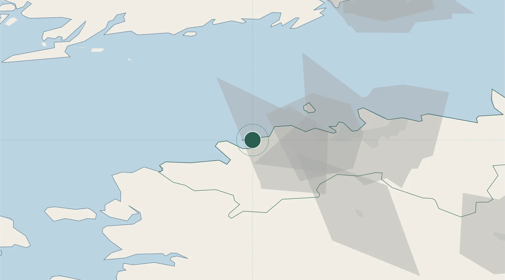
Location
Nearby Logistics Neighbours
Cities
- 1Paldiski Lõunasadam11 km
- 2Paldiski11 km
- 3Paldiski Põhjasadam11 km
- 4Keila16 km
- 5Tilgu16 km
Ports
- 1Paldiski Lounasadam11 km
- 2Paldiski Pohjasadam11 km
- 3Vene-Balti26 km
- 4Bekkeri26 km
- 5Meeruse26 km
Airports
- 1Ämari Air Base16 km
- 2Tallinn Linnahall Heliport31 km
- 3Lennart Meri Tallinn Airport35 km
- 4Kärdla Airport91 km
- 5Pärnu Airport110 km
Trade Zones
- 1Paldiski Free Zone11 km
- 2Muuga Free Zone47 km
- 3Freeport of Hanko89 km
- 4Turku Free Zone161 km
- 5Port of Hamina-Kotka193 km
DatabookThe Record of Consolidated Knowledge
Estonia beyond logistics?