Transport Functions
Multimodal
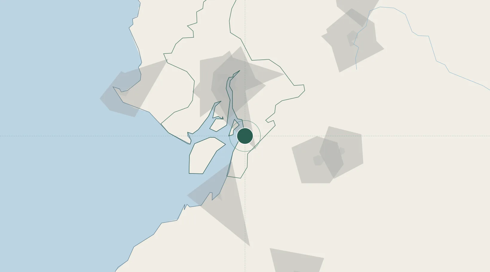
Hub Profile
Place type
Populated place
Region
Guayas
Time zone
America/Guayaquil
Elevation
0 m
Location
Nearby Logistics Neighbours
Cities
- 1Bucay7 km
- 2Puná24 km
- 3Puerto Balao Grande31 km
- 4Durán52 km
- 5Puerto Nuevo53 km
Ports
- 1Puerto Maritimo De Guayaquil46 km
- 2Guayaquil53 km
- 3Puerto Bolivar75 km
- 4La Libertad142 km
- 5Manta219 km
Airports
Trade Zones
- 1Contecon Guayaquil Free Zone46 km
- 2Zona Franca Esmeraldas59 km
- 3Posorja ZofraPort SA Free Zone60 km
- 4DP World Posorja60 km
- 5Zona Franca del Oro75 km
DatabookThe Record of Consolidated Knowledge
Ecuador beyond logistics?