UN/LOCODE hub · Ecuador
ECPUN

Puná

-2.7333°, -79.9167°
2
Transport functions

Transport Functions

Port
Road
UN/LOCODE

Hub Profile

Place type
Populated place
GeoNames
Region
Guayas
GeoNames
Time zone
America/Guayaquil
GeoNames
Elevation
14 m
GeoNames

Location

Location of ECPUN
Natural Earth 10m (public domain) · Guayas · ECPUN · -2.73, -79.92GoogleOSMYandex

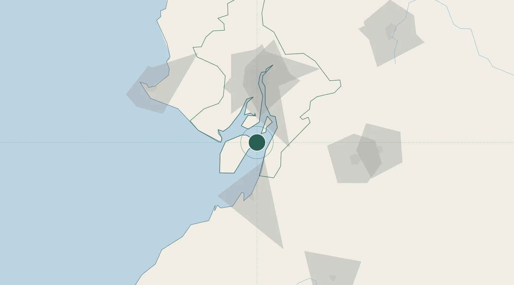
Nearby Logistics Neighbours

Cities
  1. 1Puerto Balao Grande21 km
  2. 2El Guabo24 km
  3. 3Bucay28 km
  4. 4Posorja38 km
  5. 5Playas53 km
Nearest neighbours — logibook spatial index (haversine) over the source coordinates
Ports
  1. 1Puerto Maritimo De Guayaquil50 km
  2. 2Guayaquil59 km
  3. 3Puerto Bolivar60 km
  4. 4La Libertad125 km
  5. 5Manta217 km
Nearest neighbours — logibook spatial index (haversine) over the source coordinates
Trade Zones
  1. 1Posorja ZofraPort SA Free Zone37 km
  2. 2DP World Posorja37 km
  3. 3Contecon Guayaquil Free Zone50 km
  4. 4Zona Franca del Oro63 km
  5. 5Zona Franca Esmeraldas64 km
Nearest neighbours — logibook spatial index (haversine) over the source coordinates
DatabookThe Record of Consolidated Knowledge
Ecuador beyond logistics?
Browse databook

All Sources

LocationsUN/LOCODE
UN/LOCODE — free
Portsthe NGA World Port Index
Public domain (US gov)
AirportsOurAirports
Public domain
Trade Zonesthe World Bank SEZ database
CC BY 4.0
Trade ZonesOpen Zone Map
CC BY
← Ecuador locations