Transport Functions
Multimodal
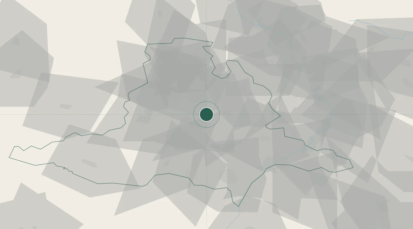
Hub Profile
Place type
Populated place
Region
South Moravian
Population
871
Time zone
Europe/Prague
Elevation
230 m
Location
Nearby Logistics Neighbours
Cities
- 1Slapanice0 km
- 2Slavkov u Brna9 km
- 3Brno10 km
- 4Strelice18 km
- 5Klobouky U Brna22 km
Ports
- 1Monfalcone446 km
- 2Trieste452 km
- 3Muggia456 km
- 4Rijeka Luka461 km
- 5Bakar461 km
Airports
- 1Brno-Tuřany Airport4 km
- 2Náměšť Air Base46 km
- 3Kunovice Airport53 km
- 4Přerov Air Base56 km
- 5Malacky/Kuchyňa Air Base89 km
Trade Zones
DatabookThe Record of Consolidated Knowledge
Czechia beyond logistics?