Transport Functions
Rail
Road
Airport
Postal
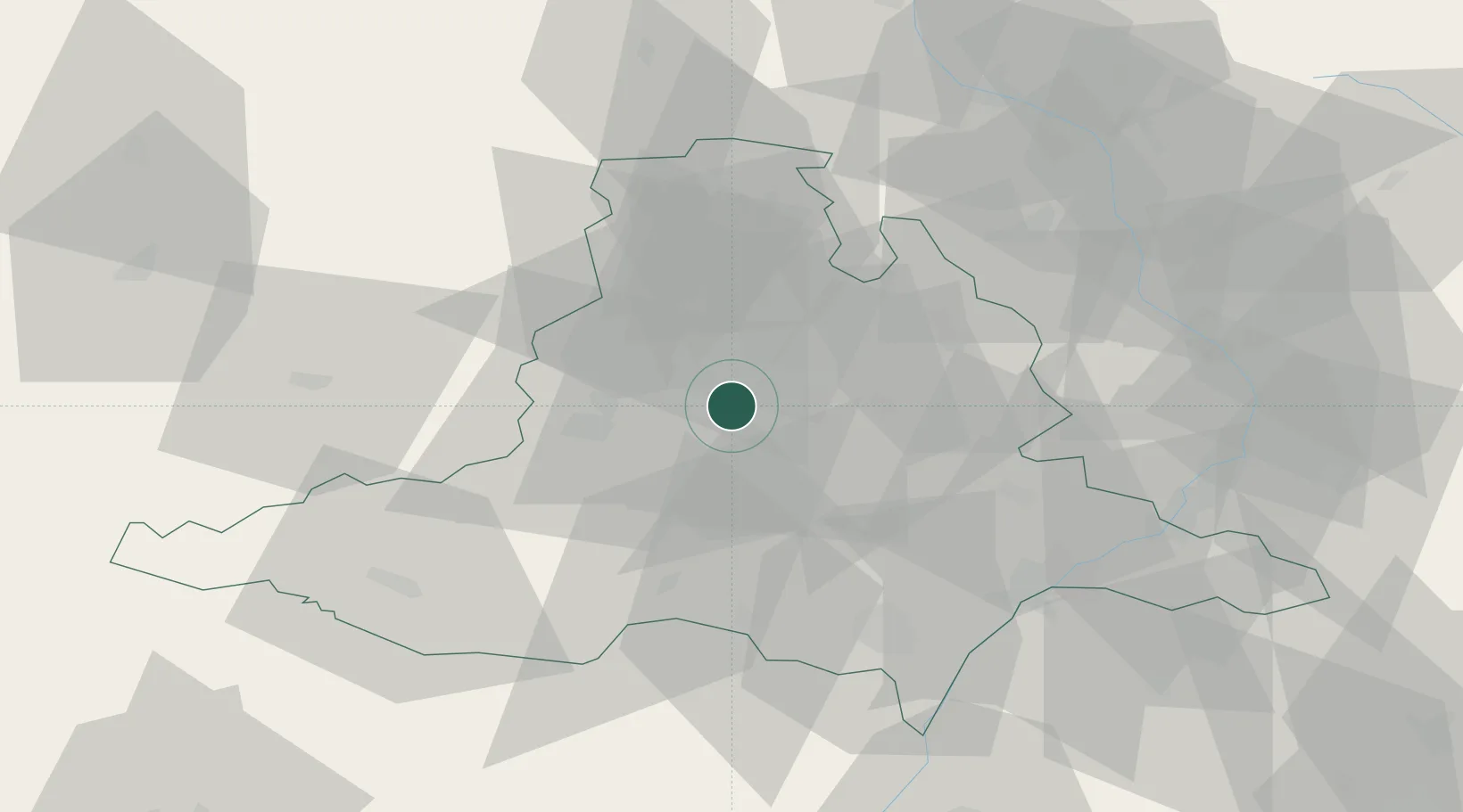
Hub Profile
Place type
Regional capital
Region
South Moravian
Population
379,466
Time zone
Europe/Prague
Elevation
226 m
Logistics facilities
3
Location
Nearby Logistics Neighbours
Cities
- 1Strelice9 km
- 2Jiríkovice10 km
- 3Slapanice10 km
- 4Rosice17 km
- 5Veverská Bityska17 km
Ports
- 1Monfalcone442 km
- 2Trieste447 km
- 3Muggia451 km
- 4Koper458 km
- 5Rijeka Luka458 km
Airports
- 1Brno-Tuřany Airport6 km
- 2Náměšť Air Base36 km
- 3Kunovice Airport62 km
- 4Přerov Air Base64 km
- 5Malacky/Kuchyňa Air Base93 km
Trade Zones
DatabookThe Record of Consolidated Knowledge
Czechia beyond logistics?