Transport Functions
Multimodal
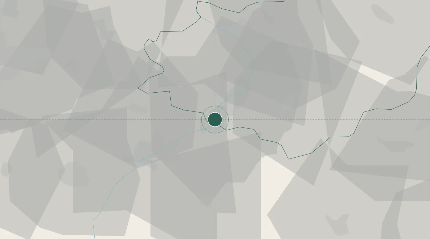
Hub Profile
Place type
Populated place
Region
Zlín
Population
4,526
Time zone
Europe/Prague
Elevation
178 m
Location
Nearby Logistics Neighbours
Cities
- 1Ostrozská Nová Ves5 km
- 2Nedakonice6 km
- 3Bzenec8 km
- 4Kunovice10 km
- 5Hluk10 km
Ports
- 1Monfalcone458 km
- 2Trieste461 km
- 3Bakar463 km
- 4Rijeka Luka463 km
- 5Muggia465 km
Airports
- 1Kunovice Airport7 km
- 2Přerov Air Base49 km
- 3Piešťany Airport52 km
- 4Brno-Tuřany Airport54 km
- 5Malacky/Kuchyňa Air Base68 km
Trade Zones
DatabookThe Record of Consolidated Knowledge
Czechia beyond logistics?