Transport Functions
Port
Rail
Road
Hub Profile
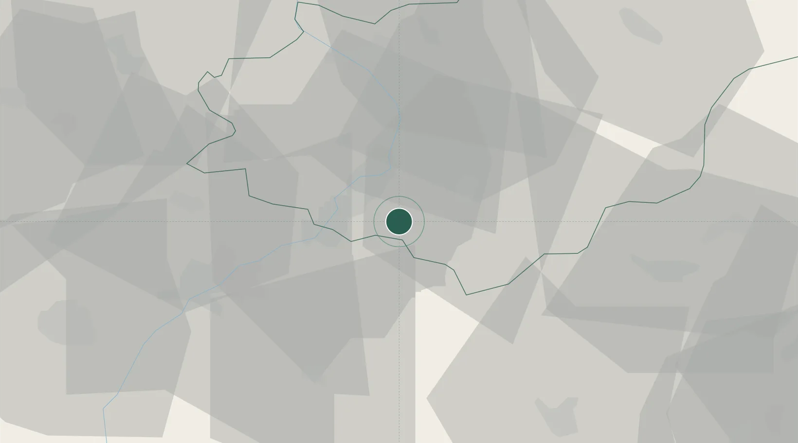
Place type
Populated place
Region
Zlín
Population
4,424
Time zone
Europe/Prague
Elevation
225 m
Location
Nearby Logistics Neighbours
Cities
- 1Ostrozská Nová Ves7 km
- 2Borsice7 km
- 3Kunovice8 km
- 4Nivnice9 km
- 5Uhersky Ostroh10 km
Ports
- 1Monfalcone464 km
- 2Trieste467 km
- 3Bakar468 km
- 4Rijeka Luka468 km
- 5Muggia471 km
Airports
- 1Kunovice Airport8 km
- 2Piešťany Airport46 km
- 3Přerov Air Base50 km
- 4Brno-Tuřany Airport63 km
- 5Malacky/Kuchyňa Air Base71 km
Trade Zones
DatabookThe Record of Consolidated Knowledge
Czechia beyond logistics?