Export Processing Zone · Costa Rica

Parque Empresarial Del Este Active
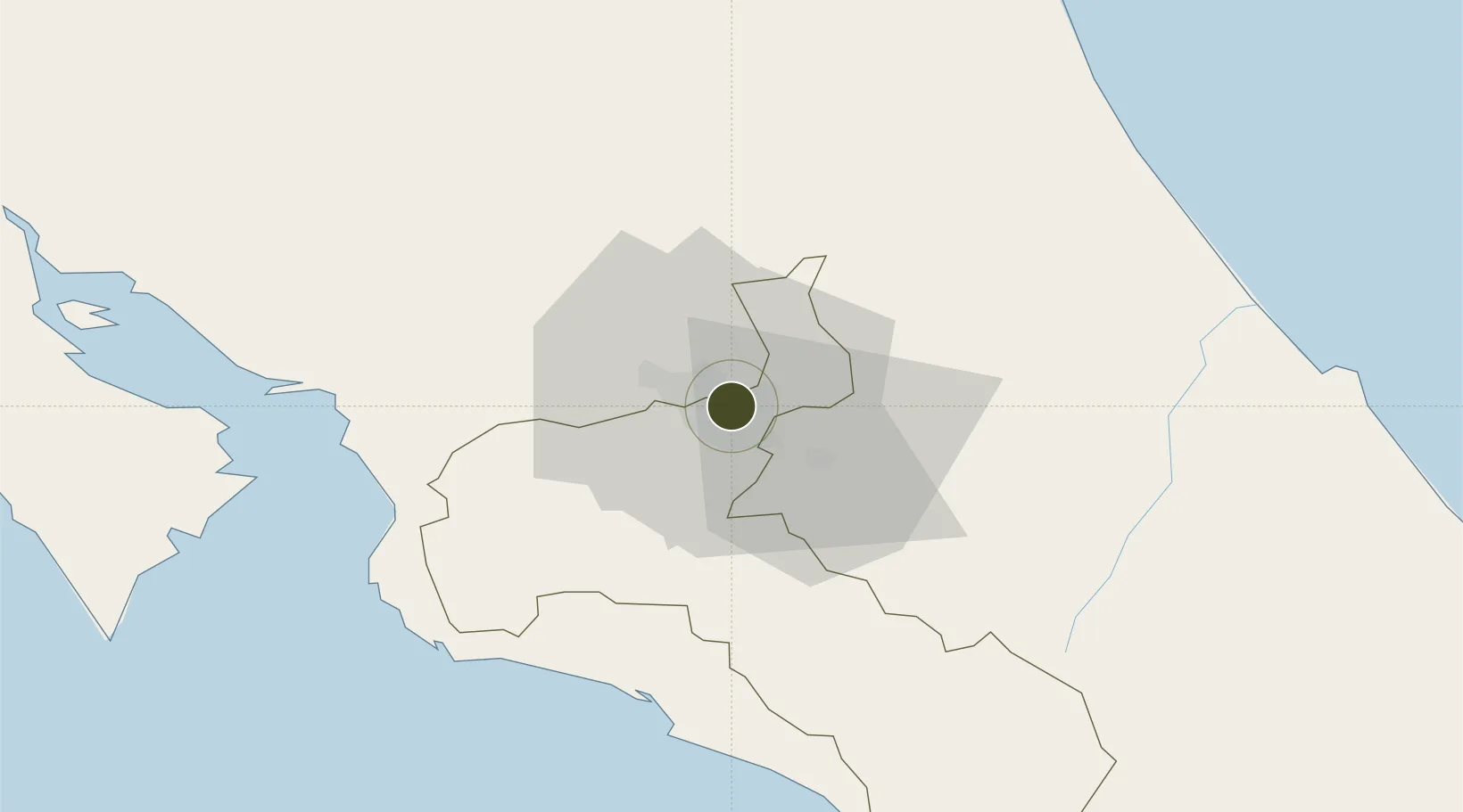
9.9476°, -84.0719°
79 ha
Zone area
58.1 km
Nearest port
7.5 km
Nearest airport

Gateway access

Nearest neighbours — logibook spatial index (haversine) over the source coordinates

Zone profile

Zone type
Export Processing Zone
Open Zone Map
Region
San José
Open Zone Map
Status
Active
Open Zone Map
Management
Private
Open Zone Map
Operator
Garnier and Garnier Development
Open Zone Map
Legal framework
Free Zone Regime Act No 7210, Act No 8794 and its Bylaws
Open Zone Map

Location

Location of ozm-1695
Natural Earth 10m (public domain) · San José · ozm-1695 · 9.95, -84.07GoogleOSMYandex

Nearby Logistics Neighbours

Ports
  1. 1Puerto Quepos58 km
  2. 2Puerto Caldera71 km
  3. 3Puntarenas84 km
  4. 4Puerto Moin108 km
  5. 5Puerto Limon116 km
Nearest neighbours — logibook spatial index (haversine) over the source coordinates
Airports
  1. 1Tobías Bolaños International Airport8 km
  2. 2Juan Santamaría International Airport16 km
  3. 3Guapiles Airport43 km
  4. 4Quepos Managua Airport56 km
  5. 5Aerotortuguero Airport73 km
Nearest neighbours — logibook spatial index (haversine) over the source coordinates
Cities
  1. 1Calle Blancos1 km
  2. 2Santo Domingo4 km
  3. 3San José4 km
  4. 4Curridabat5 km
  5. 5Barrial8 km
Nearest neighbours — logibook spatial index (haversine) over the source coordinates
Trade Zones
  1. 1Del Este Free Zone0 km
  2. 2El Roble Industrial Logistics Zone (RILZ)1 km
  3. 3Torre Universal3 km
  4. 4UltraPark II6 km
  5. 5Ultrapark LAG Free Zone6 km
Nearest neighbours — logibook spatial index (haversine) over the source coordinates
DatabookThe Record of Consolidated Knowledge
Costa Rica beyond logistics?
Browse databook

All Sources

Trade ZonesOpen Zone Map
CC BY
Portsthe NGA World Port Index
Public domain (US gov)
AirportsOurAirports
Public domain
LocationsUN/LOCODE
UN/LOCODE — free
← Costa Rica trade zones