Free Trade Zone · China

Dengfeng City Industrial Cluster Active
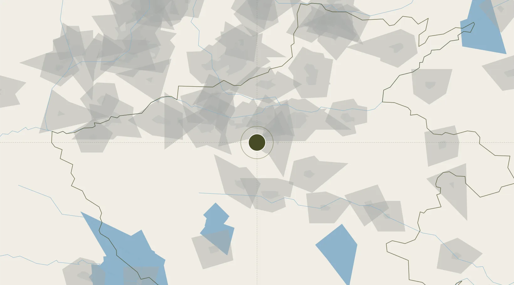
34.4636°, 113.1269°
1,150 ha
Zone area
444.9 km
Nearest port
66.6 km
Nearest airport

Gateway access

Nearest neighbours — logibook spatial index (haversine) over the source coordinates

Zone profile

Zone type
Free Trade Zone
Open Zone Map
Region
Henan
Open Zone Map
Status
Active
Open Zone Map
Management
Public
Open Zone Map
Operator
Dengfeng City Industrial Cluster District Management Committee
Open Zone Map
Legal framework
Unavailable
Open Zone Map

Location

Location of ozm-1542
Natural Earth 10m (public domain) · Henan · ozm-1542 · 34.46, 113.13GoogleOSMYandex

Nearby Logistics Neighbours

Ports
  1. 1Hankow445 km
  2. 2Lanshan574 km
  3. 3Lianyungang579 km
  4. 4Nanjing586 km
  5. 5Rizhao596 km
Nearest neighbours — logibook spatial index (haversine) over the source coordinates
Airports
  1. 1Zhengzhou Xinzheng International Airport67 km
  2. 2Zhengzhou Air Base71 km
  3. 3Luoyang Beijiao Airport74 km
  4. 4Luyang Air Base89 km
  5. 5Kaifeng Air Base116 km
Nearest neighbours — logibook spatial index (haversine) over the source coordinates
Cities
  1. 1Zhengzhou60 km
  2. 2Zhengzhoudong Railway Station67 km
  3. 3Luoyang73 km
  4. 4Pingdingshan83 km
  5. 5Jiaozuo88 km
Nearest neighbours — logibook spatial index (haversine) over the source coordinates
Trade Zones
  1. 1Mazhai Industrial Cluster47 km
  2. 2Ruzhou Industrial Cluster50 km
  3. 3Ruyang County Industrial Cluster56 km
  4. 4Jinshui High-tech Industrial Development Zone61 km
  5. 5Mengzhou High-tech Industrial Development Zone65 km
Nearest neighbours — logibook spatial index (haversine) over the source coordinates
DatabookThe Record of Consolidated Knowledge
China beyond logistics?
Browse databook

All Sources

Trade ZonesOpen Zone Map
CC BY
Portsthe NGA World Port Index
Public domain (US gov)
AirportsOurAirports
Public domain
LocationsUN/LOCODE
UN/LOCODE — free
← China trade zones