Medium airport · China
Ninglang Luguhu AirportNLH
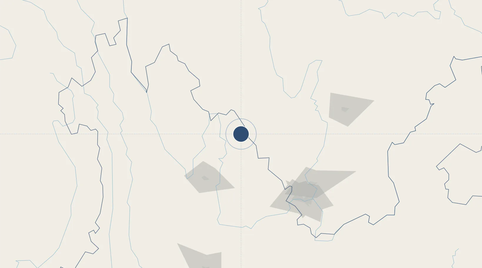
27.5403°, 100.7593°
11,155 ft
Longest runway
1
Runways
10,804 ft
Elevation
Runway & Layout

Runways · 1
| Runway | Dimensions | Surface | True heading | Lit |
|---|---|---|---|---|
| 05/23 | 11,155 × 164ft | Concrete | — | — |
Airport Specifications
IATA code
NLH
ICAO code
ZPNL
Airport class
Medium airport
Scheduled service
Yes
Runway surface
Concrete
Served city
Ninglang
Location
Nearby Logistics Neighbours
Airports
- 1Lijiang Sanyi International Airport109 km
- 2Diqing Shangri-La Airport110 km
- 3Xichang Qingshan Airport149 km
- 4Panzhihua Bao'anying Airport152 km
- 5Daocheng Yading Airport209 km
Cities
- 1Panzhihuazhan144 km
- 2Vietnam Lee & Man Port314 km
- 3Anning340 km
- 4Yunnan Tengjun International Land Port Logistics Center363 km
- 5Leshan370 km
Ports
- 1Hai Phong950 km
- 2Hon Gai972 km
- 3Cam Pha986 km
- 4Fang-Cheng1001 km
- 5Qinzhou1020 km
Trade Zones
DatabookThe Record of Consolidated Knowledge
China beyond logistics?