Medium airport · China
Panzhihua Bao'anying AirportZUZH
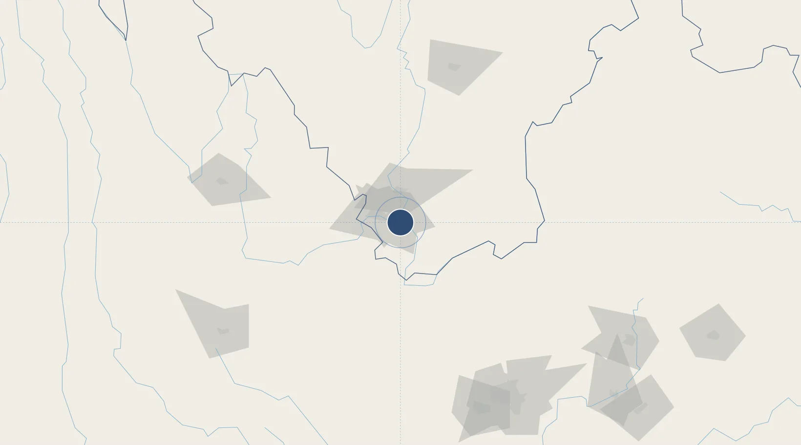
26.5400°, 101.7985°
9,186 ft
Longest runway
1
Runways
1,620 ft
Elevation
Runway & Layout

Runways · 1
| Runway | Dimensions | Surface | True heading | Lit |
|---|---|---|---|---|
| 02/20 | 9,186 × —ft | Paved | — | ✓ |
Airport Specifications
IATA code
PZI
ICAO code
ZUZH
Airport class
Medium airport
Scheduled service
Yes
Runway surface
Paved
Served city
Panzhihua (Renhe)
Location
Nearby Logistics Neighbours
Airports
- 1Yuanmou Air Base90 km
- 2Ninglang Luguhu Airport152 km
- 3Lijiang Sanyi International Airport155 km
- 4Xiangyun Midu Air Base162 km
- 5Xichang Qingshan Airport166 km
Cities
- 1Panzhihuazhan9 km
- 2Anning195 km
- 3Yunnan Tengjun International Land Port Logistics Center218 km
- 4Qujing231 km
- 5Yuxi254 km
Ports
- 1Hai Phong799 km
- 2Hon Gai821 km
- 3Cam Pha834 km
- 4Fang-Cheng852 km
- 5Qinzhou871 km
DatabookThe Record of Consolidated Knowledge
China beyond logistics?