Medium airport · China

Gannan Xiahe AirportZLXH
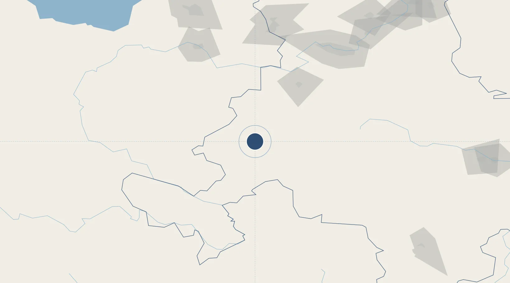
34.8190°, 102.6223°
10,499 ft
Longest runway
1
Runways
10,510 ft
Elevation

Runway & Layout

Gannan Xiahe Airport runway & taxiway layout
Runway & taxiway layout — OpenStreetMap (ODbL) / OurAirports

Runways · 1

RunwayDimensions SurfaceTrue headingLit
10/28 10,499 × —ft
OurAirports

Airport Specifications

IATA code
GXH
OurAirports
ICAO code
ZLXH
OurAirports
Airport class
Medium airport
OurAirports
Scheduled service
Yes
OurAirports
Served city
Gannan (Xiahe)
OurAirports

Location

Location of ZLXH
Natural Earth 10m (public domain) · Gansu · ZLXH · 34.82, 102.62GoogleOSMYandex

Nearby Logistics Neighbours

Airports
  1. 1Lintao Air Base123 km
  2. 2Lanzhou Air Base189 km
  3. 3Xining Caojiabao International Airport197 km
  4. 4Lanzhou Zhongchuan International Airport209 km
  5. 5Golog Maqên Airport217 km
Nearest neighbours — logibook spatial index (haversine) over the source coordinates
Cities
  1. 1Lanzhou178 km
  2. 2Dingxi199 km
  3. 3Gaolan204 km
  4. 4Bayin240 km
  5. 5Qiaotou249 km
Nearest neighbours — logibook spatial index (haversine) over the source coordinates
Ports
  1. 1Hankow1187 km
  2. 2Tianjin Xin Gang1427 km
  3. 3Fang-Cheng1557 km
  4. 4Qinzhou1567 km
  5. 5Hai Phong1596 km
Nearest neighbours — logibook spatial index (haversine) over the source coordinates
Trade Zones
  1. 1Linxia Economic Development Zone, Gansu86 km
  2. 2Minxian Industrial Park, Gansu135 km
  3. 3Gansu Guanghe Economic Development Zone137 km
  4. 4Gansu Dongxiang Economic Development Zone138 km
  5. 5Lintao Economic Development Zone, Gansu144 km
Nearest neighbours — logibook spatial index (haversine) over the source coordinates
DatabookThe Record of Consolidated Knowledge
China beyond logistics?
Browse databook

All Sources

AirportsOurAirports
Public domain
Portsthe NGA World Port Index
Public domain (US gov)
LocationsUN/LOCODE
UN/LOCODE — free
Trade Zonesthe World Bank SEZ database
CC BY 4.0
Trade ZonesOpen Zone Map
CC BY
InfrastructureOpenStreetMap
ODbL 1.0
← China airports