Diversified Zone · China
Longnan Economic Development Zone Active
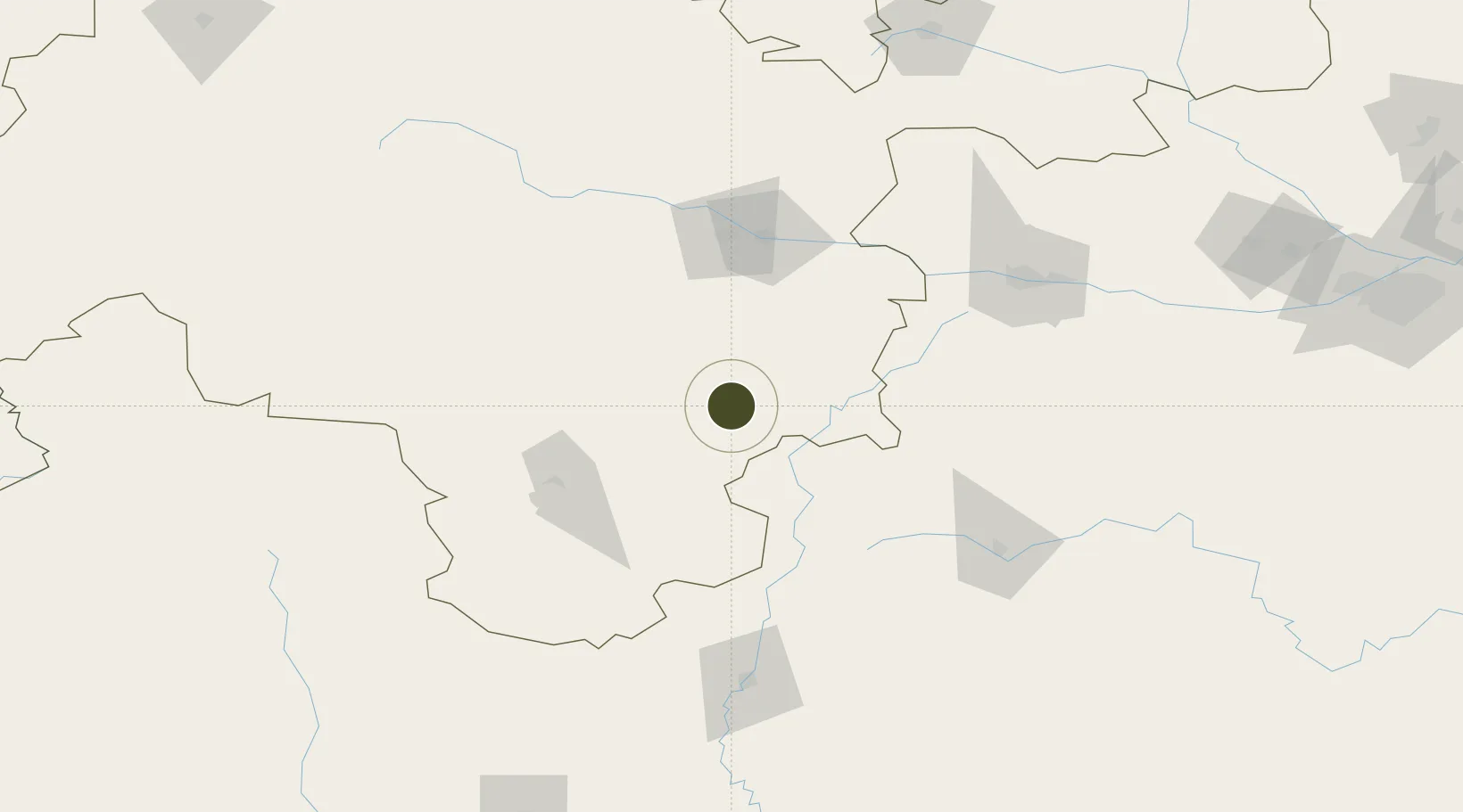
33.7560°, 105.7485°
300 ha
Zone area
877.0 km
Nearest port
5.4 km
Nearest airport
Gateway access
Zone profile
Zone type
Diversified Zone
Region
Gansu
Status
Active
Management
Public
Operator
Longnan Economic Development Zone Management Committee
Legal framework
Regulations on Taxation Policies of National High-Tech Industrial Development Zones Approved by State Council of the People's Republic of China Mar 6, 1991; Administrative Measures for the Recognition of High-tech Enterprises; Ministry of Science and Tech
Location
Nearby Logistics Neighbours
Ports
- 1Hankow877 km
- 2Tianjin Xin Gang1226 km
- 3Fang-Cheng1359 km
- 4Qinzhou1366 km
- 5Guangzhou1390 km
Airports
- 1Longnan Chengzhou Airport5 km
- 2Tianshui Maijishan Airport90 km
- 3Hanzhong Chenggu Airport152 km
- 4Guangyuan Panlong Airport152 km
- 5Baoji Air Base180 km
DatabookThe Record of Consolidated Knowledge
China beyond logistics?