UN/LOCODE hub · China
CNRZH
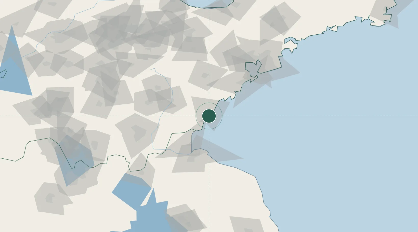
Rizhao
35.3270°, 119.4828°
661,943
Population
3
Transport functions
1
Container terminals
Transport Functions
Port
Rail
Road
Hub Profile
Place type
Provincial seat
Region
Shandong
Population
661,943
Time zone
Asia/Shanghai
Elevation
25 m
Logistics facilities
6
Container terminals
1
Location
Nearby Logistics Neighbours
Cities
- 1Lanshan Pt31 km
- 2Dongjiangkou39 km
- 3Dongjiakou40 km
- 4Lianyungang69 km
- 5Baimao87 km
Ports
- 1Lanshan29 km
- 2Lianyungang66 km
- 3Qingdao Gang106 km
- 4Longkou Gang266 km
- 5Penglai302 km
Airports
- 1Rizhao Shanzihe Airport17 km
- 2Zhucheng Air Base78 km
- 3Linyi Qiyang Airport102 km
- 4Lianyungang Huaguoshan International Airport105 km
- 5Jiaozhou Jiaocheng Air Base122 km
DatabookThe Record of Consolidated Knowledge
China beyond logistics?