Diversified Zone · China

Huantai Economic Development Zone Active
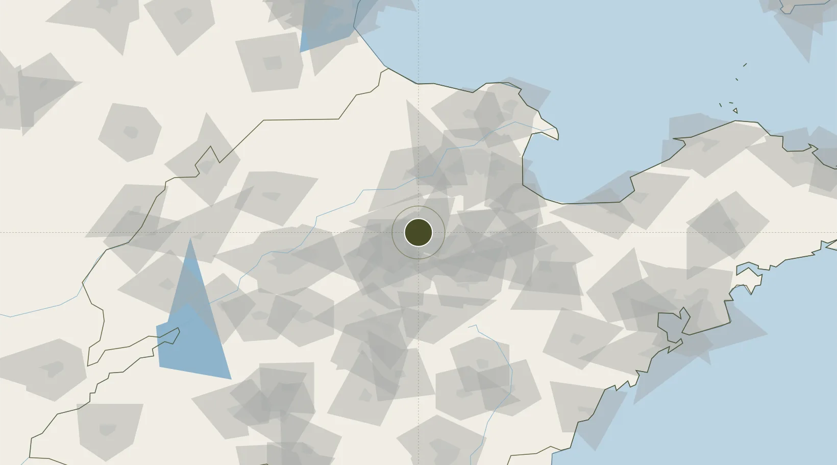
36.8988°, 118.0887°
3,000 ha
Zone area
210.7 km
Nearest port
77.8 km
Nearest airport

Gateway access

Nearest neighbours — logibook spatial index (haversine) over the source coordinates

Zone profile

Zone type
Diversified Zone
Open Zone Map
Region
Shandong
Open Zone Map
Status
Active
Open Zone Map
Management
Public
Open Zone Map
Operator
Management committee
Open Zone Map
Legal framework
It was established with the approval of the provincial government in 1992
Open Zone Map

Location

Location of ozm-883
Natural Earth 10m (public domain) · Shandong · ozm-883 · 36.90, 118.09GoogleOSMYandex

Nearby Logistics Neighbours

Ports
  1. 1Longkou Gang211 km
  2. 2Rizhao215 km
  3. 3Qingdao Gang217 km
  4. 4Tianjin Xin Gang231 km
  5. 5Lanshan233 km
Nearest neighbours — logibook spatial index (haversine) over the source coordinates
Airports
  1. 1Jinan Yaoqiang International Airport78 km
  2. 2Dongying Shengli Airport91 km
  3. 3Weifang Nanyuan Airport96 km
  4. 4Guodu Air Base108 km
  5. 5Zhucheng Air Base155 km
Nearest neighbours — logibook spatial index (haversine) over the source coordinates
Cities
  1. 1Zibo6 km
  2. 2Linzi51 km
  3. 3Dongying78 km
  4. 4Pingdu99 km
  5. 5Jinan100 km
Nearest neighbours — logibook spatial index (haversine) over the source coordinates
DatabookThe Record of Consolidated Knowledge
China beyond logistics?
Browse databook

All Sources

Trade ZonesOpen Zone Map
CC BY
Portsthe NGA World Port Index
Public domain (US gov)
AirportsOurAirports
Public domain
LocationsUN/LOCODE
UN/LOCODE — free
← China trade zones