Export Processing Zone · China

Pingyin Industrial Park Active
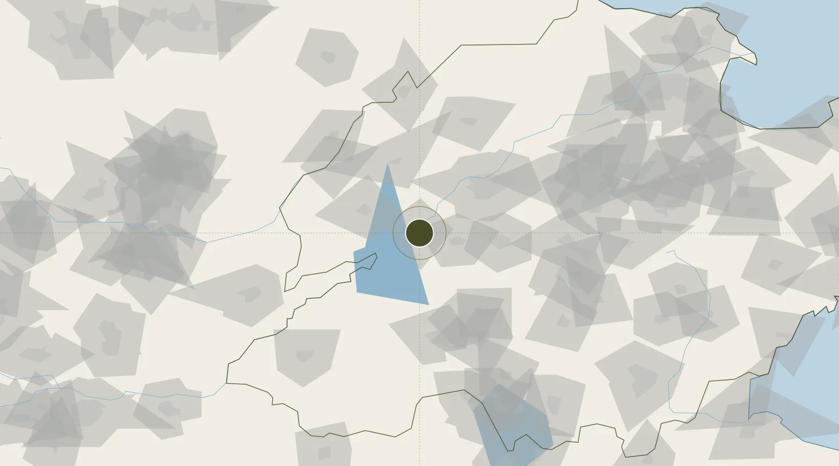
36.2703°, 116.4464°
5,600 ha
Zone area
295.1 km
Nearest port
74.2 km
Nearest airport

Gateway access

Nearest neighbours — logibook spatial index (haversine) over the source coordinates

Zone profile

Zone type
Export Processing Zone
Open Zone Map
Region
Shandong
Open Zone Map
Status
Active
Open Zone Map
Management
Public
Open Zone Map
Operator
Working Committee of Pingyin Industrial Park
Open Zone Map
Legal framework
Pingyin County "12th Five-Year Plan" Industrial Park Development Plan
Open Zone Map

Location

Location of ozm-1434
Natural Earth 10m (public domain) · Shandong · ozm-1434 · 36.27, 116.45GoogleOSMYandex

Nearby Logistics Neighbours

Ports
  1. 1Lanshan295 km
  2. 2Rizhao298 km
  3. 3Lianyungang321 km
  4. 4Tianjin Xin Gang324 km
  5. 5Qingdao Gang344 km
Nearest neighbours — logibook spatial index (haversine) over the source coordinates
Airports
  1. 1Jining Da'an Airport74 km
  2. 2Jinan Yaoqiang International Airport95 km
  3. 3Jining Qufu Airport109 km
  4. 4Guodu Air Base110 km
  5. 5Heze Mudan Airport134 km
Nearest neighbours — logibook spatial index (haversine) over the source coordinates
Cities
  1. 1Zhangqiu50 km
  2. 2Taian62 km
  3. 3Jinan66 km
  4. 4Pingdu75 km
  5. 5Liaocheng89 km
Nearest neighbours — logibook spatial index (haversine) over the source coordinates
DatabookThe Record of Consolidated Knowledge
China beyond logistics?
Browse databook

All Sources

Trade ZonesOpen Zone Map
CC BY
Portsthe NGA World Port Index
Public domain (US gov)
AirportsOurAirports
Public domain
LocationsUN/LOCODE
UN/LOCODE — free
← China trade zones