Export Processing Zone · China

Dongping Economic Development Zone Active
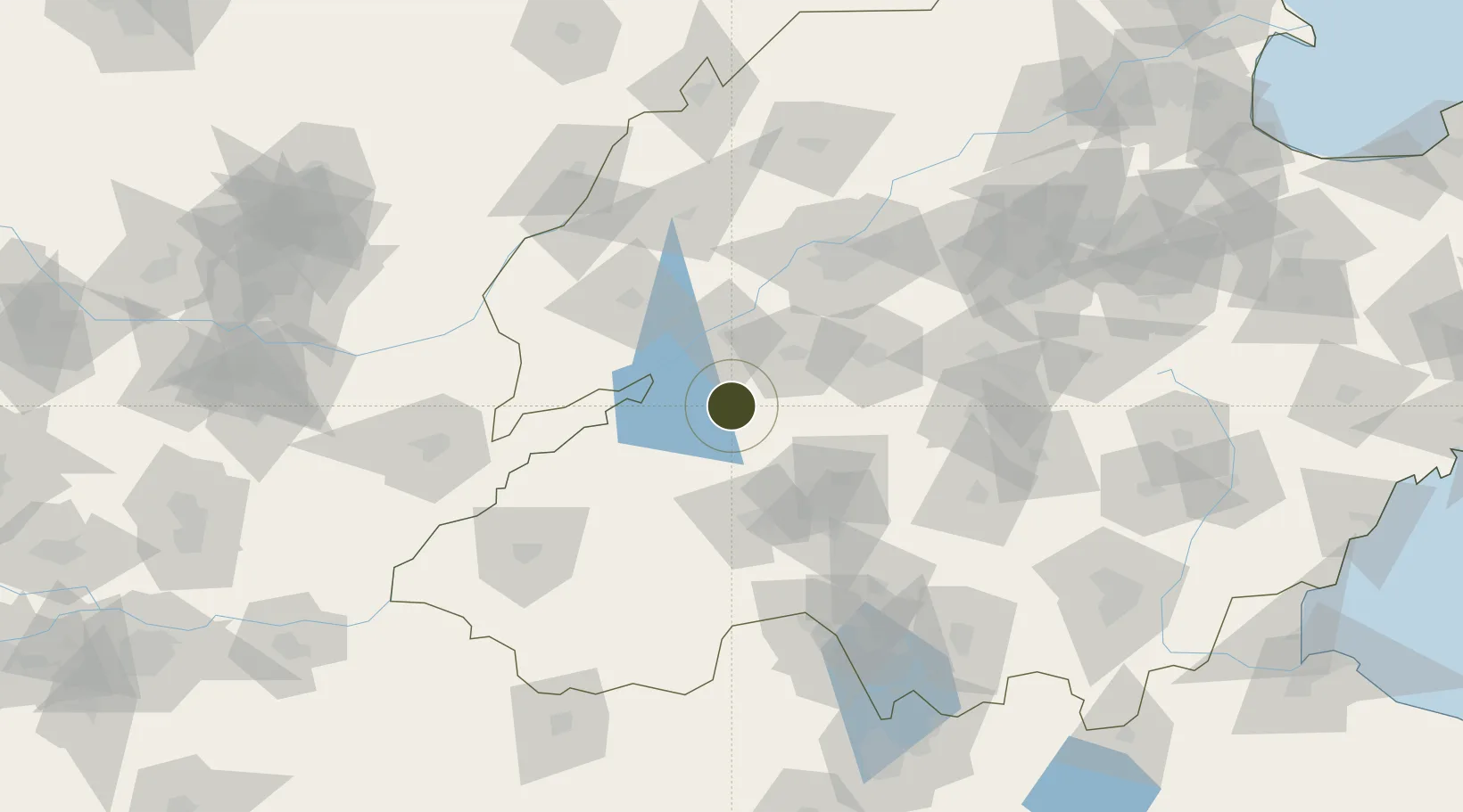
35.9510°, 116.4665°
3,500 ha
Zone area
279.8 km
Nearest port
42.0 km
Nearest airport

Gateway access

Nearest neighbours — logibook spatial index (haversine) over the source coordinates

Zone profile

Zone type
Export Processing Zone
Open Zone Map
Region
Shandong
Open Zone Map
Status
Active
Open Zone Map
Management
Public
Open Zone Map
Operator
Working Committee of Dongping Economic Development Zone
Open Zone Map
Legal framework
Tai’an City investment support and incentive policy
Open Zone Map

Location

Location of ozm-1406
Natural Earth 10m (public domain) · Shandong · ozm-1406 · 35.95, 116.47GoogleOSMYandex

Nearby Logistics Neighbours

Ports
  1. 1Lanshan280 km
  2. 2Rizhao287 km
  3. 3Lianyungang303 km
  4. 4Qingdao Gang342 km
  5. 5Tianjin Xin Gang356 km
Nearest neighbours — logibook spatial index (haversine) over the source coordinates
Airports
  1. 1Jining Da'an Airport42 km
  2. 2Jining Qufu Airport74 km
  3. 3Guodu Air Base105 km
  4. 4Heze Mudan Airport105 km
  5. 5Jinan Yaoqiang International Airport121 km
Nearest neighbours — logibook spatial index (haversine) over the source coordinates
Cities
  1. 1Zhangqiu46 km
  2. 2Jining64 km
  3. 3Taian65 km
  4. 4Jinan93 km
  5. 5Pingdu104 km
Nearest neighbours — logibook spatial index (haversine) over the source coordinates
Trade Zones
  1. 1Pingyin Industrial Park36 km
  2. 2Feicheng High-tech Industrial Park37 km
  3. 3Yanzhou Economic Development Zone51 km
  4. 4Ningyang Economic Development Zone53 km
  5. 5Taiqian County Industrial Cluster54 km
Nearest neighbours — logibook spatial index (haversine) over the source coordinates
DatabookThe Record of Consolidated Knowledge
China beyond logistics?
Browse databook

All Sources

Trade ZonesOpen Zone Map
CC BY
Portsthe NGA World Port Index
Public domain (US gov)
AirportsOurAirports
Public domain
LocationsUN/LOCODE
UN/LOCODE — free
← China trade zones