Export Processing Zone · China
Bozhou Industrial Park Active
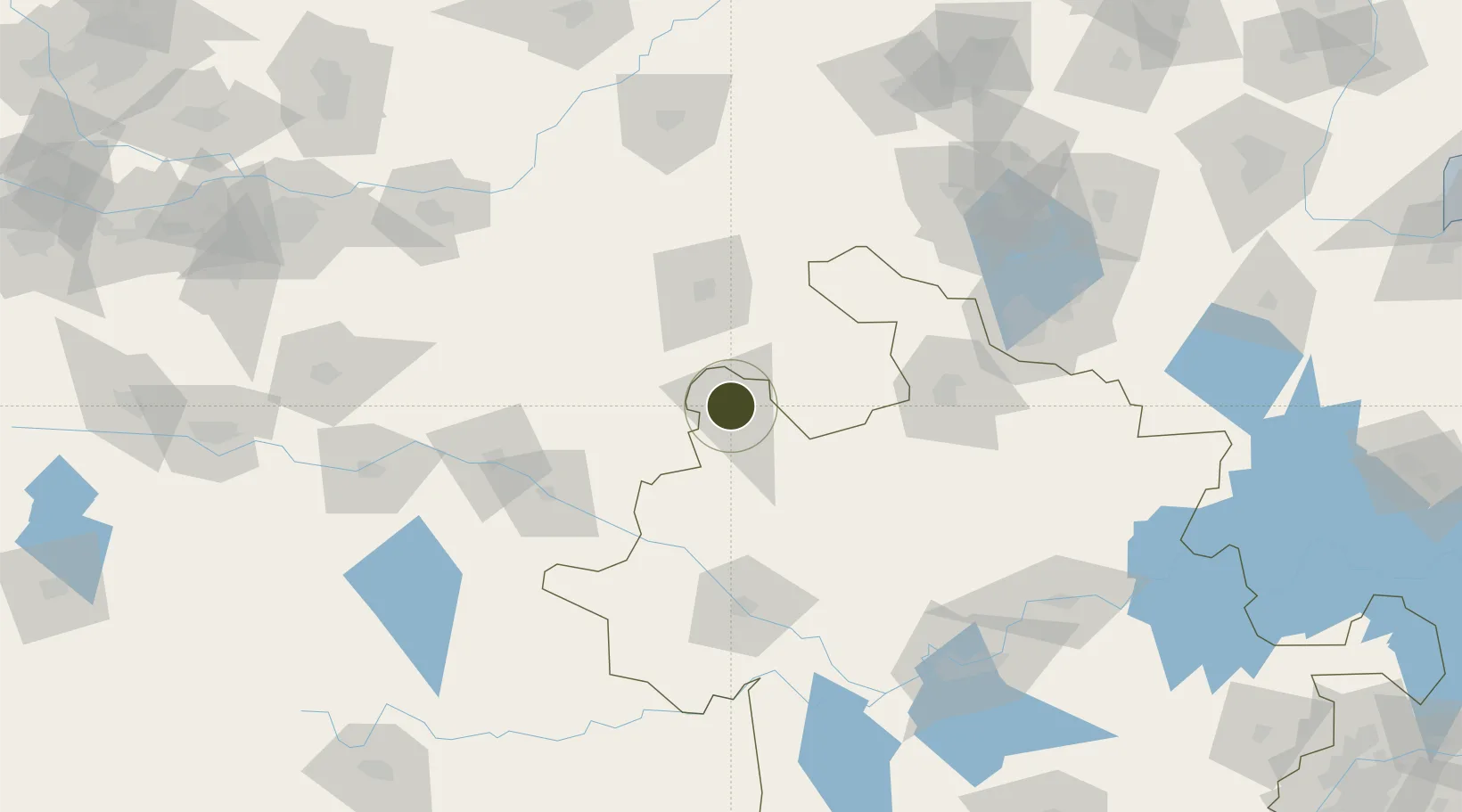
33.8762°, 115.7790°
2,489 ha
Zone area
341.4 km
Nearest port
70.2 km
Nearest airport
Gateway access
Zone profile
Zone type
Export Processing Zone
Region
Anhui
Status
Active
Management
Public
Operator
Bozhou Industrial Park, Anhui Administrative Committee
Legal framework
Bozhou Industrial Park was approved to be set up by the provincial government in April 2006, with a planned area of 5.6 square kilometers. In July 2013, the provincial government approved the expansion of 13.07 square kilometers and the industrial park co
Location
Nearby Logistics Neighbours
Ports
- 1Nanjing341 km
- 2Lianyungang350 km
- 3Lanshan355 km
- 4Yangzhou385 km
- 5Rizhao385 km
Airports
- 1Shangqiu Air Base70 km
- 2Fuyang Xiguan Airport111 km
- 3Xuzhou Daguozhang Air Base141 km
- 4Bengbu Tenghu Airport143 km
- 5Heze Mudan Airport149 km
Cities
- 1Qingguji / Shangqiu90 km
- 2Mengcheng99 km
- 3Heze106 km
- 4Zhoukou110 km
- 5Xiaoxian112 km
DatabookThe Record of Consolidated Knowledge
China beyond logistics?