Diversified Zone · Bangladesh

Hoshendi Economic Zone Under Development
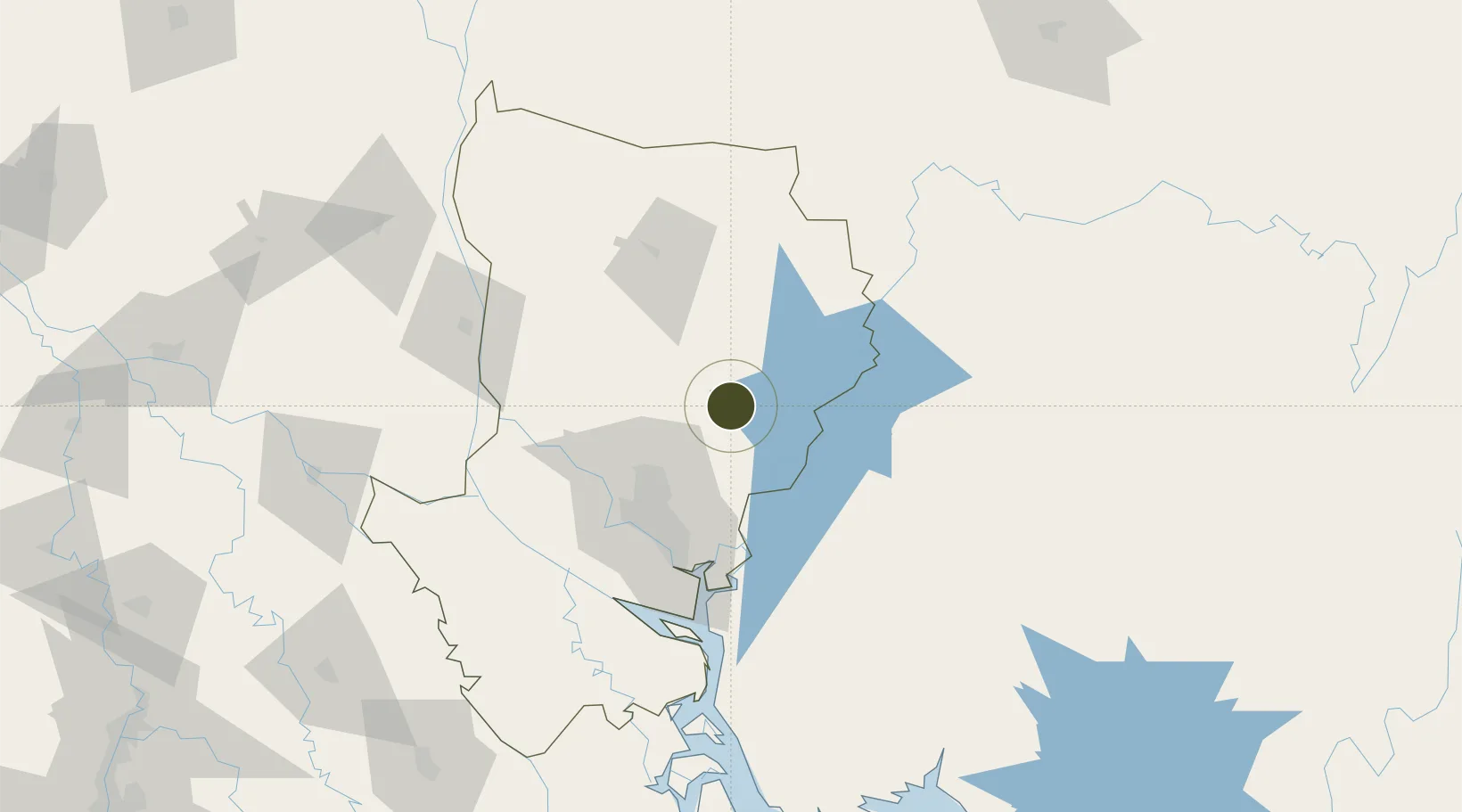
24.1843°, 90.6929°
44 ha
Zone area
221.2 km
Nearest port
48.3 km
Nearest airport

Gateway access

Nearest neighbours — logibook spatial index (haversine) over the source coordinates

Zone profile

Zone type
Diversified Zone
Open Zone Map
Region
Dhaka
Open Zone Map
Status
Under Development
Open Zone Map
Management
Private
Open Zone Map
Operator
City Group
Open Zone Map
Legal framework
Bangladesh Economic Zones Act: 2010. Bangladesh Private Economic Zones Policy: 2015.
Open Zone Map

Location

Location of ozm-136
Natural Earth 10m (public domain) · Dhaka · ozm-136 · 24.18, 90.69GoogleOSMYandex

Nearby Logistics Neighbours

Ports
  1. 1Mongla221 km
  2. 2Chittagong237 km
  3. 3Calcutta302 km
  4. 4Haldia Port360 km
  5. 5Sittwe505 km
Nearest neighbours — logibook spatial index (haversine) over the source coordinates
Airports
  1. 1Hazrat Shahjalal International Airport48 km
  2. 2Agartala - Maharaja Bir Bikram Airport65 km
  3. 3Kailashahar Airport134 km
  4. 4Osmany International Airport147 km
  5. 5Barisal Airport159 km
Nearest neighbours — logibook spatial index (haversine) over the source coordinates
Cities
  1. 1Narsingdi30 km
  2. 2Ashuganj37 km
  3. 3Tejgaon55 km
  4. 4Savar60 km
  5. 5Pangaon64 km
Nearest neighbours — logibook spatial index (haversine) over the source coordinates
Trade Zones
  1. 1Bgmea Garments Industries Park0 km
  2. 2Kishoreganj Economic Zone (Nitol Motors Ltd.)19 km
  3. 3Sreepur Economic Zone25 km
  4. 4Narsingdi Economic Zone28 km
  5. 5Ashuganj Economic Zone34 km
Nearest neighbours — logibook spatial index (haversine) over the source coordinates
DatabookThe Record of Consolidated Knowledge
Bangladesh beyond logistics?
Browse databook

All Sources

Trade ZonesOpen Zone Map
CC BY
Portsthe NGA World Port Index
Public domain (US gov)
AirportsOurAirports
Public domain
LocationsUN/LOCODE
UN/LOCODE — free
← Bangladesh trade zones