Transport Functions
Multimodal
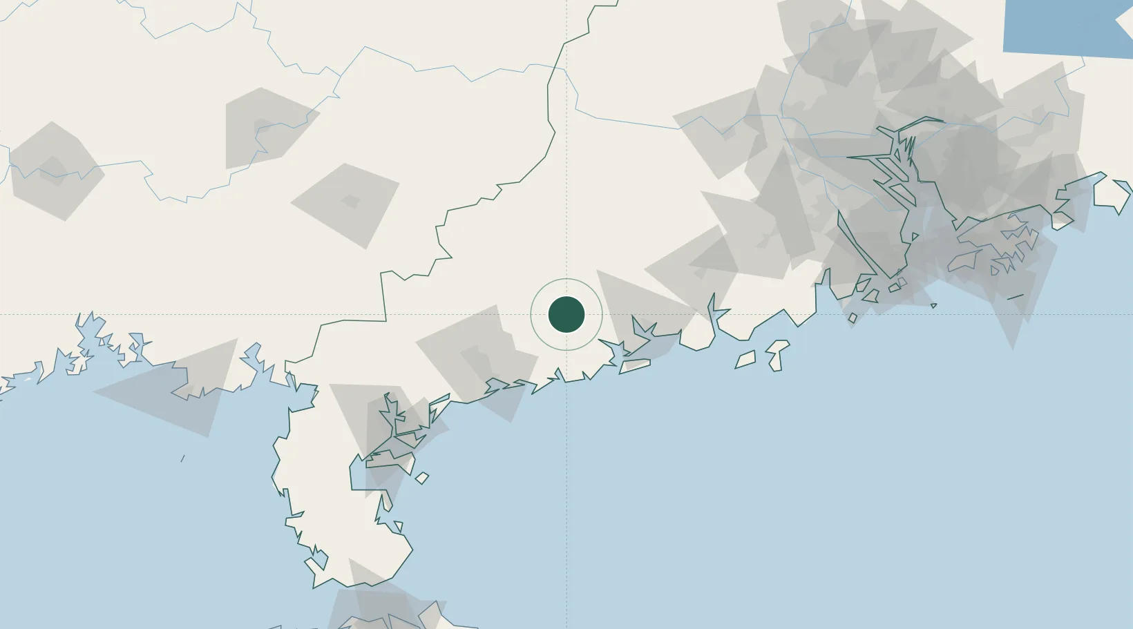
Hub Profile
Place type
Populated place
Region
Guangdong
Time zone
Asia/Shanghai
Elevation
7 m
Location
Nearby Logistics Neighbours
Cities
- 1Yangjiang43 km
- 2Xitou44 km
- 3Shapa48 km
- 4Zhapo56 km
- 5Shuidong Pt57 km
Airports
- 1Zhanjiang Wuchuan International Airport105 km
- 2Suixi Air Base146 km
- 3Yulin Fumian Airport151 km
- 4Wuzhou Xijiang Airport168 km
- 5Zhuhai Jinwan Airport195 km
DatabookThe Record of Consolidated Knowledge
China beyond logistics?