Diversified Zone · Bangladesh

Akij Economic Zone Under Development

24.5114°, 90.3919°
40 ha
Zone area
241.3 km
Nearest port
74.3 km
Nearest airport

Gateway access

Nearest neighbours — logibook spatial index (haversine) over the source coordinates

Zone profile

Zone type
Diversified Zone
Open Zone Map
Region
Dhaka
Open Zone Map
Status
Under Development
Open Zone Map
Management
Private
Open Zone Map
Operator
Akij Group
Open Zone Map
Legal framework
Bangladesh Economic Zones Act: 2010. Bangladesh Private Economic Zones Policy: 2015.
Open Zone Map

Location

Location of ozm-132
Natural Earth 10m (public domain) · Dhaka · ozm-132 · 24.51, 90.39GoogleOSMYandex

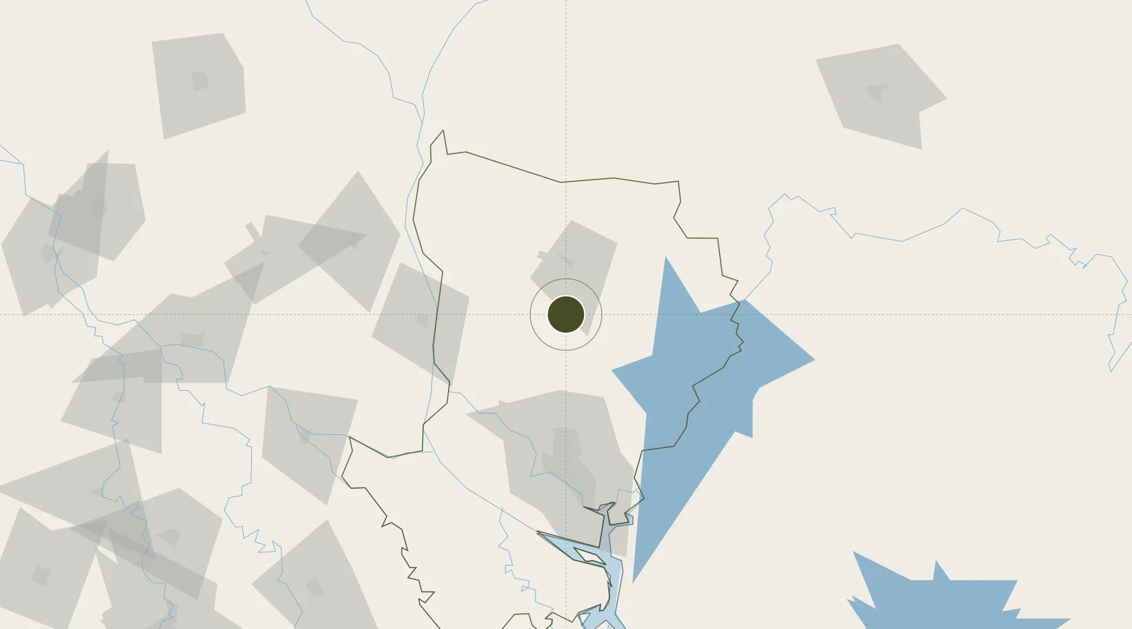
Nearby Logistics Neighbours

Ports
  1. 1Mongla241 km
  2. 2Chittagong284 km
  3. 3Calcutta303 km
  4. 4Haldia Port364 km
  5. 5Dhamra541 km
Nearest neighbours — logibook spatial index (haversine) over the source coordinates
Airports
  1. 1Hazrat Shahjalal International Airport74 km
  2. 2Agartala - Maharaja Bir Bikram Airport111 km
  3. 3Baljek Airport128 km
  4. 4Ishurdi Airport142 km
  5. 5Osmany International Airport157 km
Nearest neighbours — logibook spatial index (haversine) over the source coordinates
Cities
  1. 1Narsingdi74 km
  2. 2Savar77 km
  3. 3Ashuganj83 km
  4. 4Tejgaon83 km
  5. 5Pangaon95 km
Nearest neighbours — logibook spatial index (haversine) over the source coordinates
Trade Zones
  1. 1Hamid Economic Zone1 km
  2. 2Mymensingh Economic Zone, Ishwarganj27 km
  3. 3Sreepur Economic Zone34 km
  4. 4Kishoreganj Economic Zone (Nitol Motors Ltd.)41 km
  5. 5Bgmea Garments Industries Park48 km
Nearest neighbours — logibook spatial index (haversine) over the source coordinates
DatabookThe Record of Consolidated Knowledge
Bangladesh beyond logistics?
Browse databook

All Sources

Trade ZonesOpen Zone Map
CC BY
Portsthe NGA World Port Index
Public domain (US gov)
AirportsOurAirports
Public domain
LocationsUN/LOCODE
UN/LOCODE — free
← Bangladesh trade zones