Export Processing Zone · China

Taihe Economic Development Area Active
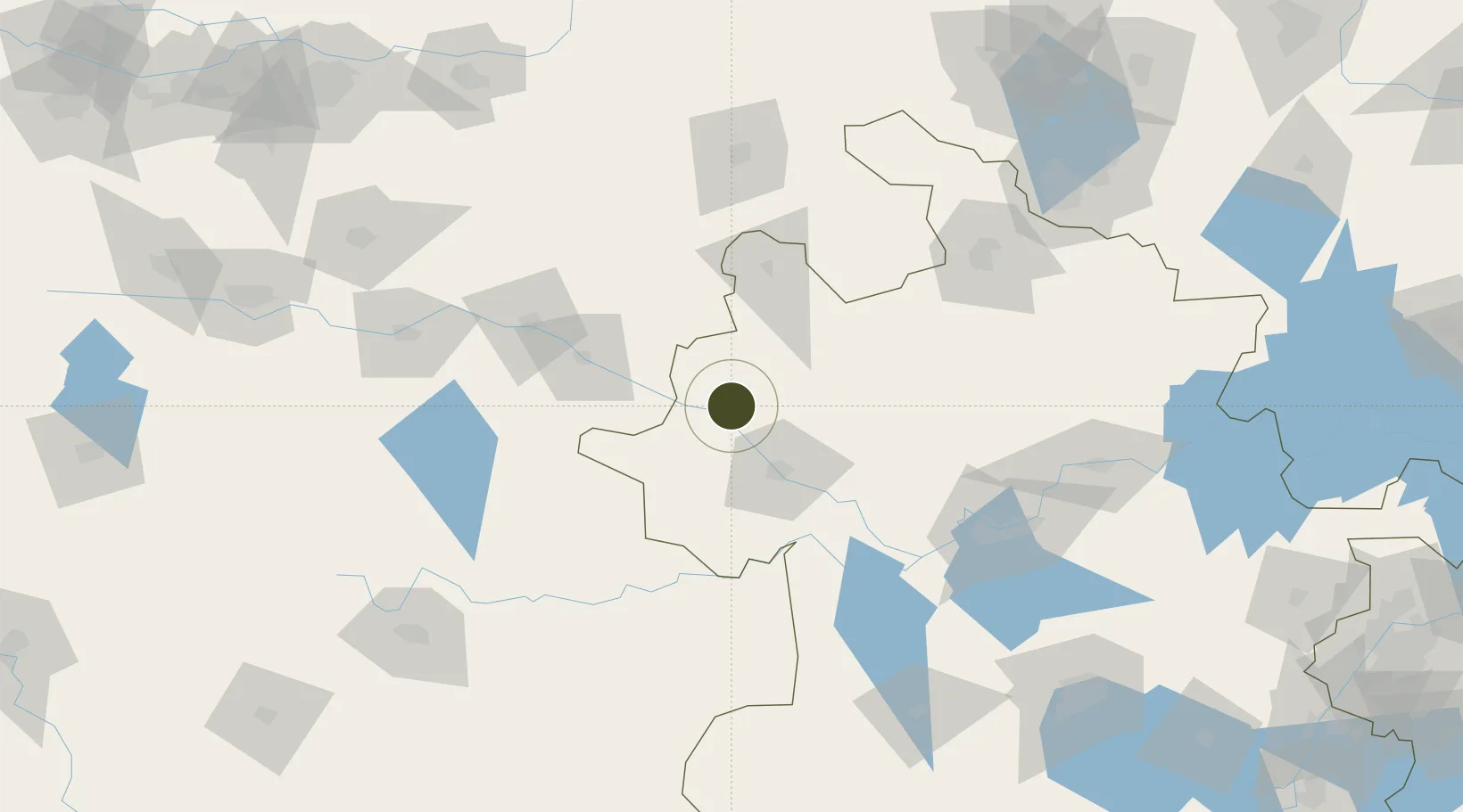
33.2243°, 115.6099°
1,321 ha
Zone area
319.2 km
Nearest port
39.8 km
Nearest airport

Gateway access

Nearest neighbours — logibook spatial index (haversine) over the source coordinates

Zone profile

Zone type
Export Processing Zone
Open Zone Map
Region
Anhui
Open Zone Map
Status
Active
Open Zone Map
Management
Public
Open Zone Map
Operator
Working Committee of Taihe Economic Development Area
Open Zone Map
Legal framework
Overall plan for the China (Anhui) Pilot Free Trade Zone
Open Zone Map

Location

Location of ozm-1299
Natural Earth 10m (public domain) · Anhui · ozm-1299 · 33.22, 115.61GoogleOSMYandex

Nearby Logistics Neighbours

Ports
  1. 1Hankow319 km
  2. 2Nanjing320 km
  3. 3Yangzhou373 km
  4. 4Zhenjiang375 km
  5. 5Lianyungang392 km
Nearest neighbours — logibook spatial index (haversine) over the source coordinates
Airports
  1. 1Fuyang Xiguan Airport40 km
  2. 2Bengbu Tenghu Airport135 km
  3. 3Shangqiu Air Base137 km
  4. 4Xinyang Minggang Airport162 km
  5. 5Bengbu Tenghu Airport165 km
Nearest neighbours — logibook spatial index (haversine) over the source coordinates
Cities
  1. 1Mengcheng88 km
  2. 2Zhoukou101 km
  3. 3Zhaogang122 km
  4. 4Huangbu134 km
  5. 5Xiaoxian162 km
Nearest neighbours — logibook spatial index (haversine) over the source coordinates
Trade Zones
  1. 1Jieshou Economic Development Zone18 km
  2. 2Linquan Economic Development Zone35 km
  3. 3Yingdong Economic Development Zone43 km
  4. 4Fuyang Economic and Technological Development Zone45 km
  5. 5Fuyang Economic Development Zone47 km
Nearest neighbours — logibook spatial index (haversine) over the source coordinates
DatabookThe Record of Consolidated Knowledge
China beyond logistics?
Browse databook

All Sources

Trade ZonesOpen Zone Map
CC BY
Portsthe NGA World Port Index
Public domain (US gov)
AirportsOurAirports
Public domain
LocationsUN/LOCODE
UN/LOCODE — free
← China trade zones