Diversified Zone · China

Yingdong Economic Development Zone Active
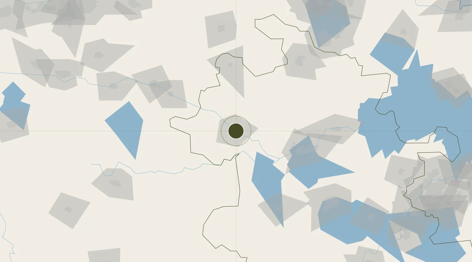
32.9095°, 115.8701°
830 ha
Zone area
285.3 km
Nearest port
13.0 km
Nearest airport

Gateway access

Nearest neighbours — logibook spatial index (haversine) over the source coordinates

Zone profile

Zone type
Diversified Zone
Open Zone Map
Region
Anhui
Open Zone Map
Status
Active
Open Zone Map
Management
Public
Open Zone Map
Operator
Yingdong Economic Development Zone Management Committee
Open Zone Map
Legal framework
It was approved by Anhui Provincial People's Government in December 2008
Open Zone Map

Location

Location of ozm-626
Natural Earth 10m (public domain) · Anhui · ozm-626 · 32.91, 115.87GoogleOSMYandex

Nearby Logistics Neighbours

Ports
  1. 1Nanjing285 km
  2. 2Hankow299 km
  3. 3Yangzhou341 km
  4. 4Zhenjiang343 km
  5. 5Gaogang379 km
Nearest neighbours — logibook spatial index (haversine) over the source coordinates
Airports
  1. 1Fuyang Xiguan Airport13 km
  2. 2Bengbu Tenghu Airport114 km
  3. 3Bengbu Tenghu Airport136 km
  4. 4Hefei Xinqiao International Airport146 km
  5. 5Xinyang Minggang Airport173 km
Nearest neighbours — logibook spatial index (haversine) over the source coordinates
Cities
  1. 1Mengcheng75 km
  2. 2Zhaogang82 km
  3. 3Zhoukou139 km
  4. 4Bengbu141 km
  5. 5Lu'an143 km
Nearest neighbours — logibook spatial index (haversine) over the source coordinates
Trade Zones
  1. 1Fuyang Economic Development Zone5 km
  2. 2Fuyang Economic and Technological Development Zone6 km
  3. 3Yingquan Economic Development Zone9 km
  4. 4Fuyang Industrial Park11 km
  5. 5Funan Economic Development Zone37 km
Nearest neighbours — logibook spatial index (haversine) over the source coordinates
DatabookThe Record of Consolidated Knowledge
China beyond logistics?
Browse databook

All Sources

Trade ZonesOpen Zone Map
CC BY
Portsthe NGA World Port Index
Public domain (US gov)
AirportsOurAirports
Public domain
LocationsUN/LOCODE
UN/LOCODE — free
← China trade zones