Export Processing Zone · China

Fuyang Economic Development Zone Active
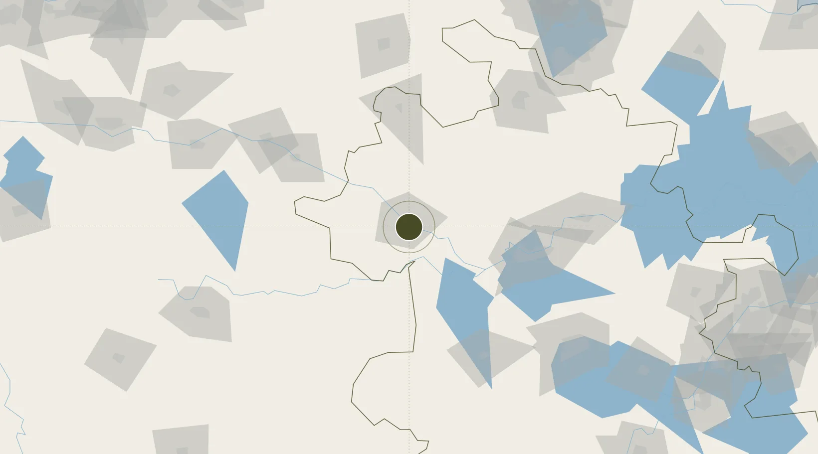
32.8640°, 115.8673°
4,700 ha
Zone area
284.0 km
Nearest port
12.6 km
Nearest airport

Gateway access

Nearest neighbours — logibook spatial index (haversine) over the source coordinates

Zone profile

Zone type
Export Processing Zone
Open Zone Map
Region
Anhui
Open Zone Map
Status
Active
Open Zone Map
Management
Public
Open Zone Map
Operator
Working Committee of Fuyang Economic Development Zone
Open Zone Map
Legal framework
General Urban Planning of Fuyang city (2012-2030) (Revised version in 2018)
Open Zone Map

Location

Location of ozm-1424
Natural Earth 10m (public domain) · Anhui · ozm-1424 · 32.86, 115.87GoogleOSMYandex

Nearby Logistics Neighbours

Ports
  1. 1Nanjing284 km
  2. 2Hankow295 km
  3. 3Yangzhou341 km
  4. 4Zhenjiang342 km
  5. 5Gaogang379 km
Nearest neighbours — logibook spatial index (haversine) over the source coordinates
Airports
  1. 1Fuyang Xiguan Airport13 km
  2. 2Bengbu Tenghu Airport116 km
  3. 3Bengbu Tenghu Airport136 km
  4. 4Hefei Xinqiao International Airport143 km
  5. 5Xinyang Minggang Airport171 km
Nearest neighbours — logibook spatial index (haversine) over the source coordinates
Cities
  1. 1Mengcheng78 km
  2. 2Zhaogang80 km
  3. 3Lu'an138 km
  4. 4Bengbu141 km
  5. 5Zhoukou142 km
Nearest neighbours — logibook spatial index (haversine) over the source coordinates
Trade Zones
  1. 1Fuyang Economic and Technological Development Zone3 km
  2. 2Yingquan Economic Development Zone5 km
  3. 3Yingdong Economic Development Zone5 km
  4. 4Fuyang Industrial Park6 km
  5. 5Funan Economic Development Zone33 km
Nearest neighbours — logibook spatial index (haversine) over the source coordinates
DatabookThe Record of Consolidated Knowledge
China beyond logistics?
Browse databook

All Sources

Trade ZonesOpen Zone Map
CC BY
Portsthe NGA World Port Index
Public domain (US gov)
AirportsOurAirports
Public domain
LocationsUN/LOCODE
UN/LOCODE — free
← China trade zones