Runway & Layout

Airport Specifications
IATA code
SIA
ICAO code
ZLSN
Airport class
Medium airport
Scheduled service
No
Served city
Xi'an (Baqiao)
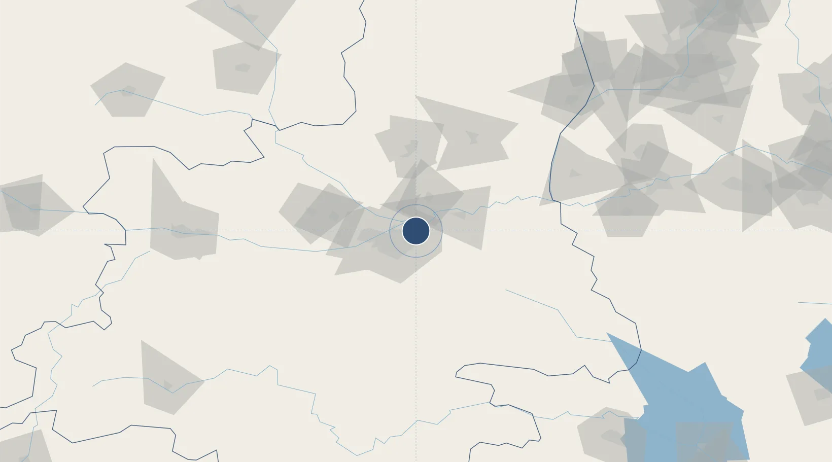
Location
Nearby Logistics Neighbours
Airports
- 1Yanliang Air Base32 km
- 2Xi'an Xianyang International Airport35 km
- 3Xi'an Air Base54 km
- 4Wugong Air Base79 km
- 5Baoji Air Base152 km
Ports
- 1Hankow642 km
- 2Tianjin Xin Gang929 km
- 3Nanjing931 km
- 4Lanshan939 km
- 5Lianyungang946 km
DatabookThe Record of Consolidated Knowledge
China beyond logistics?