Transport Functions
Road
Multimodal
Hub Profile
Place type
Provincial seat
Region
Shaanxi
Population
1,199,290
Time zone
Asia/Shanghai
Elevation
354 m
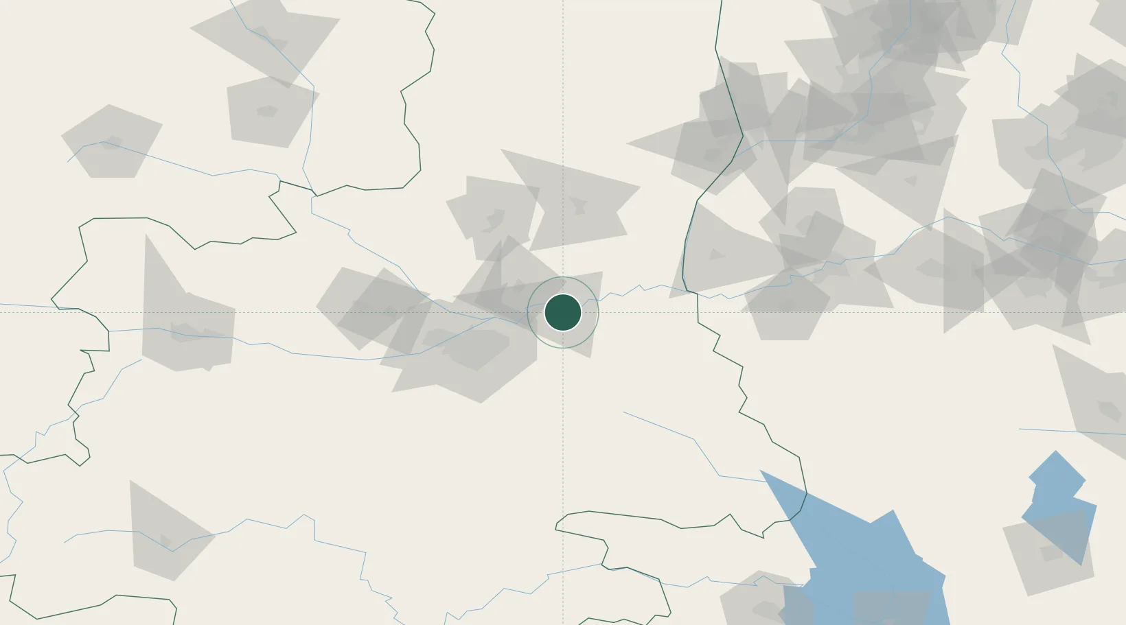
Location
Nearby Logistics Neighbours
Ports
- 1Hankow625 km
- 2Tianjin Xin Gang893 km
- 3Nanjing900 km
- 4Lanshan903 km
- 5Lianyungang911 km
Airports
- 1Yanliang Air Base28 km
- 2Xi'an Xiguan Airport37 km
- 3Xi'an Xianyang International Airport69 km
- 4Xi'an Air Base91 km
- 5Wugong Air Base116 km
DatabookThe Record of Consolidated Knowledge
China beyond logistics?