Export Processing Zone · China

Luanping High-tech Industrial Development Zone Active
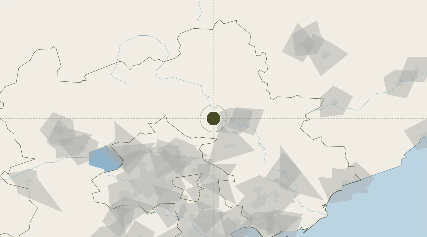
40.9976°, 117.4250°
380 ha
Zone area
219.9 km
Nearest port
56.2 km
Nearest airport

Gateway access

Nearest neighbours — logibook spatial index (haversine) over the source coordinates

Zone profile

Zone type
Export Processing Zone
Open Zone Map
Region
Hebei
Open Zone Map
Status
Active
Open Zone Map
Management
Public
Open Zone Map
Operator
Management Committee of Hebei Luanping High-tech Industrial Development Zone
Open Zone Map
Legal framework
Unavailable
Open Zone Map

Location

Location of ozm-1115
Natural Earth 10m (public domain) · Hebei · ozm-1115 · 41.00, 117.42GoogleOSMYandex

Nearby Logistics Neighbours

Ports
  1. 1Qinhuangdao220 km
  2. 2Tianjin Xin Gang229 km
  3. 3Tangshan (Jingtang)241 km
  4. 4Huludao Gang301 km
  5. 5Jinzhou Wan310 km
Nearest neighbours — logibook spatial index (haversine) over the source coordinates
Airports
  1. 1Chengde Puning Airport56 km
  2. 2Fengning Air Base74 km
  3. 3Pingquan Air Base106 km
  4. 4Tangshan Zunhua Air Base107 km
  5. 5Yongning Air Base124 km
Nearest neighbours — logibook spatial index (haversine) over the source coordinates
Cities
  1. 1Chengde43 km
  2. 2Miyun86 km
  3. 3Pinggu100 km
  4. 4Shunyi116 km
  5. 5Lisui118 km
Nearest neighbours — logibook spatial index (haversine) over the source coordinates
Trade Zones
  1. 1Chengde Shuangluan Economic Development Zone31 km
  2. 2Fengning Economic Development Zone67 km
  3. 3Zunhua Economic Development Zone99 km
  4. 4Kuancheng Economic Development Zone103 km
  5. 5Jizhou District Economic Development Zone113 km
Nearest neighbours — logibook spatial index (haversine) over the source coordinates
DatabookThe Record of Consolidated Knowledge
China beyond logistics?
Browse databook

All Sources

Trade ZonesOpen Zone Map
CC BY
Portsthe NGA World Port Index
Public domain (US gov)
AirportsOurAirports
Public domain
LocationsUN/LOCODE
UN/LOCODE — free
← China trade zones