Transport Functions
Multimodal
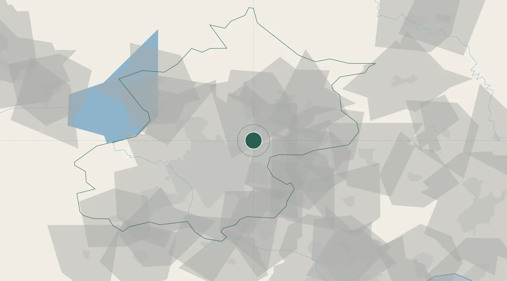
Hub Profile
Place type
Populated place
Region
Beijing
Population
117,623
Time zone
Asia/Shanghai
Elevation
45 m
Location
Nearby Logistics Neighbours
Ports
- 1Tianjin Xin Gang165 km
- 2Tangshan (Jingtang)228 km
- 3Qinhuangdao254 km
- 4Huludao Gang372 km
- 5Jinzhou Wan383 km
Airports
DatabookThe Record of Consolidated Knowledge
China beyond logistics?