Export Processing Zone · China

Zunhua Economic Development Zone Active
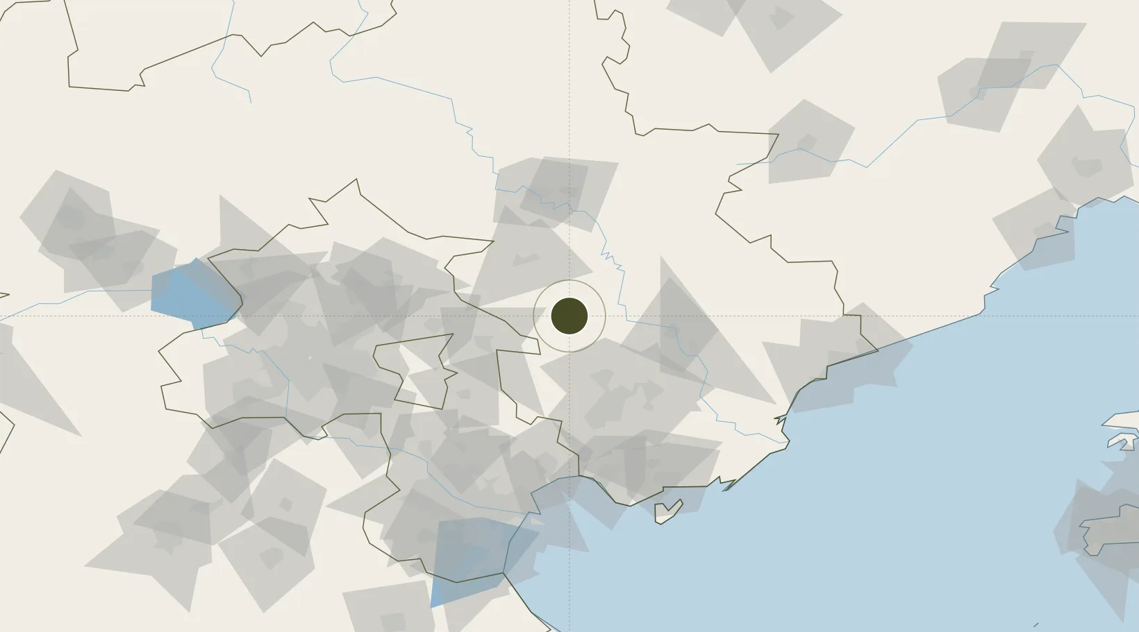
40.2014°, 117.9516°
843 ha
Zone area
137.7 km
Nearest port
12.3 km
Nearest airport

Gateway access

Nearest neighbours — logibook spatial index (haversine) over the source coordinates

Zone profile

Zone type
Export Processing Zone
Open Zone Map
Region
Hebei
Open Zone Map
Status
Active
Open Zone Map
Management
Public
Open Zone Map
Operator
Management Committee of Hebei Zunhua Economic Development Zone
Open Zone Map
Legal framework
Unavailable
Open Zone Map

Location

Location of ozm-1230
Natural Earth 10m (public domain) · Hebei · ozm-1230 · 40.20, 117.95GoogleOSMYandex

Nearby Logistics Neighbours

Ports
  1. 1Tianjin Xin Gang138 km
  2. 2Tangshan (Jingtang)144 km
  3. 3Qinhuangdao145 km
  4. 4Huludao Gang262 km
  5. 5Jinzhou Wan273 km
Nearest neighbours — logibook spatial index (haversine) over the source coordinates
Airports
  1. 1Tangshan Zunhua Air Base12 km
  2. 2Tangshan Sannühe Airport54 km
  3. 3Pingquan Air Base99 km
  4. 4Chengde Puning Airport103 km
  5. 5Qinhuangdao Beidaihe Airport112 km
Nearest neighbours — logibook spatial index (haversine) over the source coordinates
Cities
  1. 1Tangshan Pt67 km
  2. 2Pinggu71 km
  3. 3Yutai76 km
  4. 4Chengde85 km
  5. 5Miyun97 km
Nearest neighbours — logibook spatial index (haversine) over the source coordinates
Trade Zones
  1. 1Tianjin Special Vehicle Industrial Park50 km
  2. 2Jizhou District Economic Development Zone51 km
  3. 3Fengrun Economic Development Zone52 km
  4. 4Qianan Economic Development Zone60 km
  5. 5Tangshan Guye Economic Development Zone66 km
Nearest neighbours — logibook spatial index (haversine) over the source coordinates
DatabookThe Record of Consolidated Knowledge
China beyond logistics?
Browse databook

All Sources

Trade ZonesOpen Zone Map
CC BY
Portsthe NGA World Port Index
Public domain (US gov)
AirportsOurAirports
Public domain
LocationsUN/LOCODE
UN/LOCODE — free
← China trade zones