Diversified Zone · China

Jizhou District Economic Development Zone Active
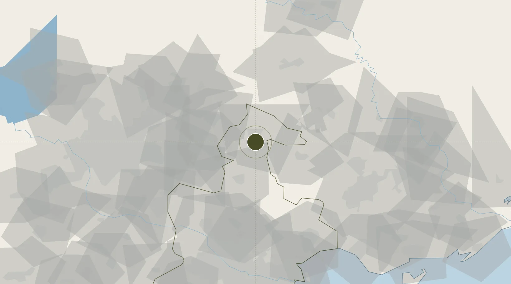
39.9834°, 117.4228°
668 ha
Zone area
118.4 km
Nearest port
41.7 km
Nearest airport

Gateway access

Nearest neighbours — logibook spatial index (haversine) over the source coordinates

Zone profile

Zone type
Diversified Zone
Open Zone Map
Region
Tianjin
Open Zone Map
Status
Active
Open Zone Map
Management
Public
Open Zone Map
Operator
Management Committee of Jizhou District Economic Development Zone
Open Zone Map
Legal framework
In June 1992, it was approved by Tianjin Municipal People's Government
Open Zone Map

Location

Location of ozm-590
Natural Earth 10m (public domain) · Tianjin · ozm-590 · 39.98, 117.42GoogleOSMYandex

Nearby Logistics Neighbours

Ports
  1. 1Tianjin Xin Gang118 km
  2. 2Tangshan (Jingtang)162 km
  3. 3Qinhuangdao187 km
  4. 4Huludao Gang312 km
  5. 5Jinzhou Wan323 km
Nearest neighbours — logibook spatial index (haversine) over the source coordinates
Airports
  1. 1Tangshan Zunhua Air Base42 km
  2. 2Tangshan Sannühe Airport58 km
  3. 3Beijing Tongxian Air Base64 km
  4. 4Beijing Capital International Airport71 km
  5. 5Yangcun Air Base73 km
Nearest neighbours — logibook spatial index (haversine) over the source coordinates
Cities
  1. 1Yutai25 km
  2. 2Pinggu31 km
  3. 3Lisui58 km
  4. 4Miyun66 km
  5. 5Shunyi68 km
Nearest neighbours — logibook spatial index (haversine) over the source coordinates
Trade Zones
  1. 1Tianjin Special Vehicle Industrial Park2 km
  2. 2Dachang High-tech Industrial Development Zone42 km
  3. 3Zunhua Economic Development Zone51 km
  4. 4Fengrun Economic Development Zone58 km
  5. 5Jingbin Industrial Park69 km
Nearest neighbours — logibook spatial index (haversine) over the source coordinates
DatabookThe Record of Consolidated Knowledge
China beyond logistics?
Browse databook

All Sources

Trade ZonesOpen Zone Map
CC BY
Portsthe NGA World Port Index
Public domain (US gov)
AirportsOurAirports
Public domain
LocationsUN/LOCODE
UN/LOCODE — free
← China trade zones