Transport Functions
Port
Road
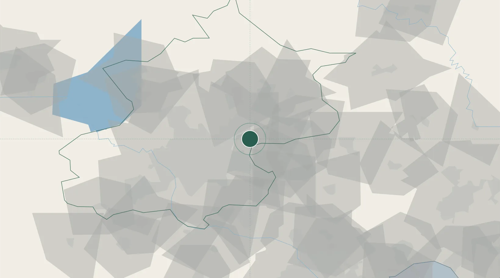
Hub Profile
Place type
Local administrative seat
Region
Beijing
Time zone
Asia/Shanghai
Elevation
29 m
Location
Nearby Logistics Neighbours
Ports
- 1Tianjin Xin Gang154 km
- 2Tangshan (Jingtang)217 km
- 3Qinhuangdao245 km
- 4Huludao Gang365 km
- 5Jinzhou Wan376 km
Airports
DatabookThe Record of Consolidated Knowledge
China beyond logistics?