Export Processing Zone · China

Yanshou Economic Development Zone Active
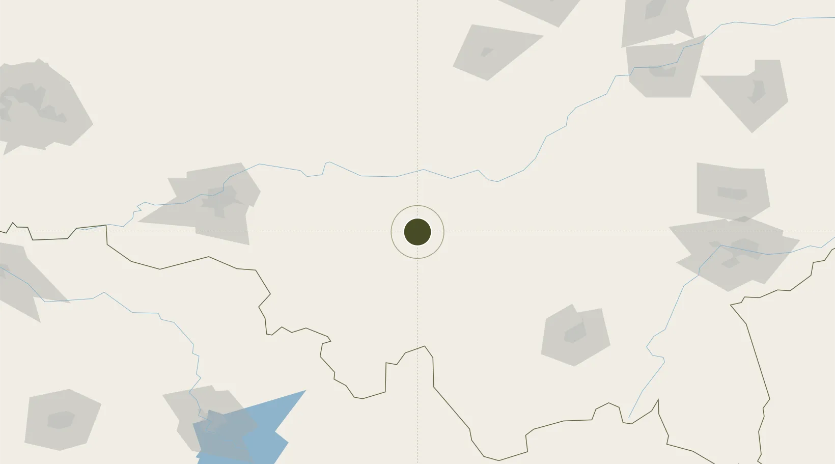
45.4537°, 128.3102°
94 ha
Zone area
369.8 km
Nearest port
112.8 km
Nearest airport

Gateway access

Nearest neighbours — logibook spatial index (haversine) over the source coordinates

Zone profile

Zone type
Export Processing Zone
Open Zone Map
Region
Heilongjiang
Open Zone Map
Status
Active
Open Zone Map
Management
Public
Open Zone Map
Operator
Management Committee of Heilongjiang Yanshou Economic Development Zone
Open Zone Map
Legal framework
Unavailable
Open Zone Map

Location

Location of ozm-1086
Natural Earth 10m (public domain) · Heilongjiang · ozm-1086 · 45.45, 128.31GoogleOSMYandex

Nearby Logistics Neighbours

Ports
  1. 1Pos'yet370 km
  2. 2Slavyanka378 km
  3. 3Zarubino384 km
  4. 4Vladivostok386 km
  5. 5Najin392 km
Nearest neighbours — logibook spatial index (haversine) over the source coordinates
Airports
  1. 1Lalin Air Base113 km
  2. 2Mudanjiang Hailang International Airport143 km
  3. 3Harbin Taiping International Airport162 km
  4. 4Jixi Xingkaihu Airport226 km
  5. 5Jiamusi Songjiang International Airport227 km
Nearest neighbours — logibook spatial index (haversine) over the source coordinates
Cities
  1. 1Bayan99 km
  2. 2Shanshi117 km
  3. 3Harbin137 km
  4. 4Ning'an154 km
  5. 5Shuangcheng159 km
Nearest neighbours — logibook spatial index (haversine) over the source coordinates
Trade Zones
  1. 1Shangzhi Economic Development Zone36 km
  2. 2Fangzheng Economic Development Zone59 km
  3. 3Bayan Economic Development Zone99 km
  4. 4Niujia Economic Development Zone121 km
  5. 5Beidahuang Economic Development Zone129 km
Nearest neighbours — logibook spatial index (haversine) over the source coordinates
DatabookThe Record of Consolidated Knowledge
China beyond logistics?
Browse databook

All Sources

Trade ZonesOpen Zone Map
CC BY
Portsthe NGA World Port Index
Public domain (US gov)
AirportsOurAirports
Public domain
LocationsUN/LOCODE
UN/LOCODE — free
← China trade zones