Export Processing Zone · China
Dechang Characteristic Industrial Park Active
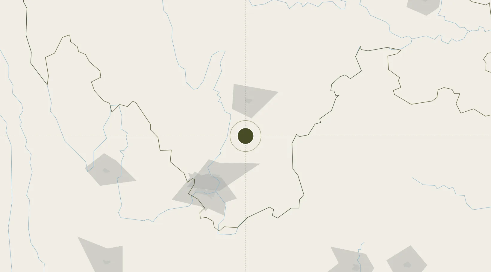
27.3953°, 102.2265°
230 ha
Zone area
850.3 km
Nearest port
66.2 km
Nearest airport
Gateway access
Zone profile
Zone type
Export Processing Zone
Region
Sichuan
Status
Active
Management
Public
Operator
Management Committee of Dechang Characteristic Industrial Park
Legal framework
Regulations on Taxation Policies of National High-Tech Industrial Development Zones Approved by State Council of the People's Republic of China Mar 6, 1991; Administrative Measures for the Recognition of High-tech Enterprises; Ministry of Science and Tech
Location
Nearby Logistics Neighbours
Ports
- 1Hai Phong850 km
- 2Hon Gai869 km
- 3Cam Pha879 km
- 4Fang-Cheng881 km
- 5Qinzhou900 km
Airports
- 1Xichang Qingshan Airport66 km
- 2Panzhihua Bao'anying Airport104 km
- 3Ninglang Luguhu Airport146 km
- 4Zhaotong Zhaoyang Airport (Not fully opened)146 km
- 5Zhaotong Airport151 km
Cities
- 1Panzhihuazhan105 km
- 2Vietnam Lee & Man Port187 km
- 3Qujing263 km
- 4Anning279 km
- 5Yibin280 km
Trade Zones
DatabookThe Record of Consolidated Knowledge
China beyond logistics?