Specialized Zone · China
Huili Nonferrous Industry Economic Development Zone Active
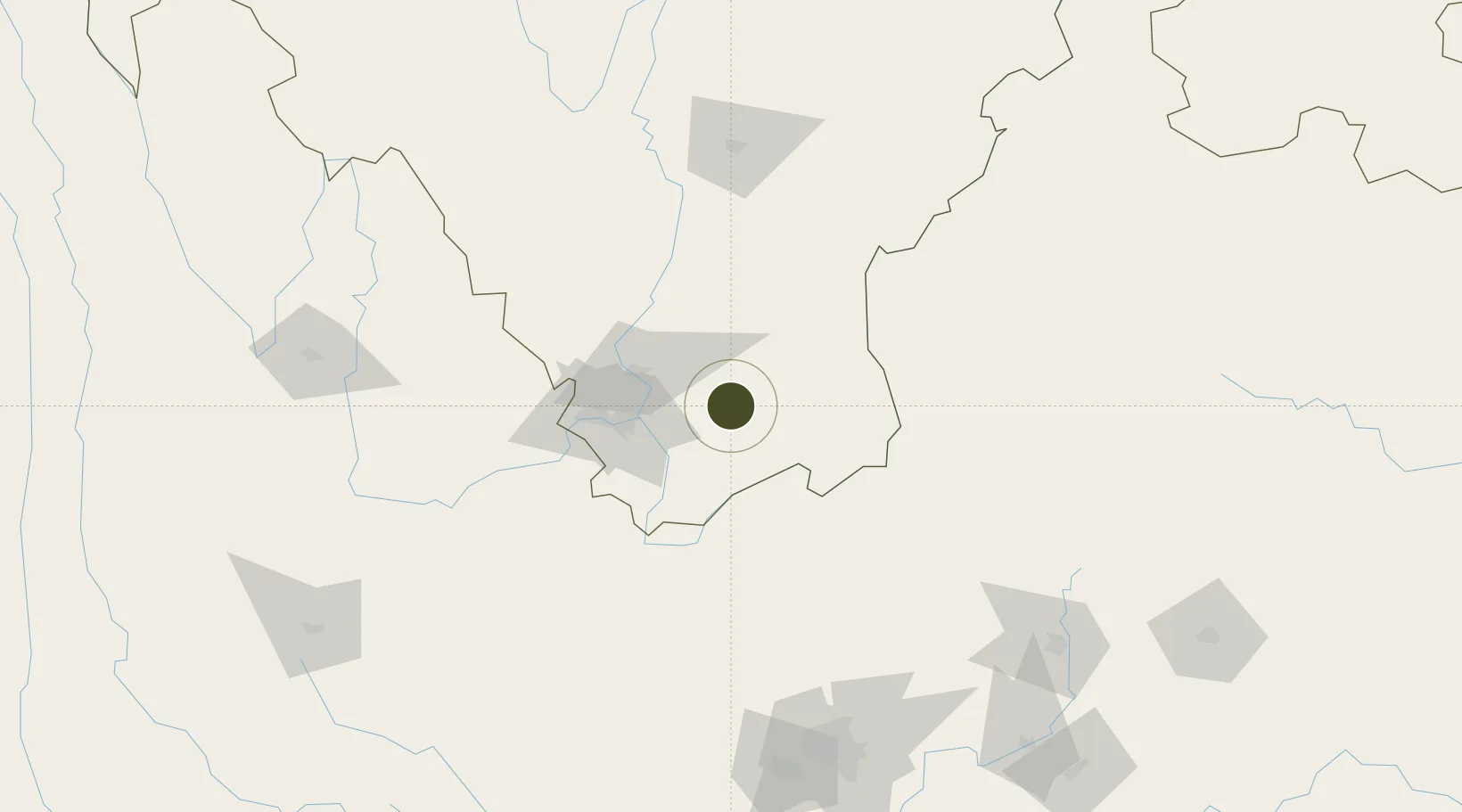
26.6550°, 102.2447°
100 ha
Zone area
781.6 km
Nearest port
46.2 km
Nearest airport
Gateway access
Zone profile
Zone type
Specialized Zone
Specialization
Mining
Region
Sichuan
Status
Active
Management
Public
Operator
Non-ferrous Industrial Park Management Committee of Huili County, Liangshan Yi Autonomous Prefecture, Sichuan Province
Legal framework
In accordance with the Several Opinions of The General Office of the State Council on Promoting The Reform and Innovative Development of Development Zones, the provincial government agrees to establish Sichuan Huili Economic Development Zone for non-ferro
Location
Nearby Logistics Neighbours
Ports
- 1Hai Phong782 km
- 2Hon Gai802 km
- 3Cam Pha814 km
- 4Fang-Cheng825 km
- 5Qinzhou844 km
Airports
- 1Panzhihua Bao'anying Airport46 km
- 2Yuanmou Air Base108 km
- 3Xichang Qingshan Airport149 km
- 4Zhaotong Zhaoyang Airport (Not fully opened)156 km
- 5Zhaotong Airport167 km
Cities
- 1Panzhihuazhan53 km
- 2Anning197 km
- 3Qujing202 km
- 4Yunnan Tengjun International Land Port Logistics Center218 km
- 5Vietnam Lee & Man Port241 km
DatabookThe Record of Consolidated Knowledge
China beyond logistics?