Medium airport · China

Xichang Qingshan AirportZUXC
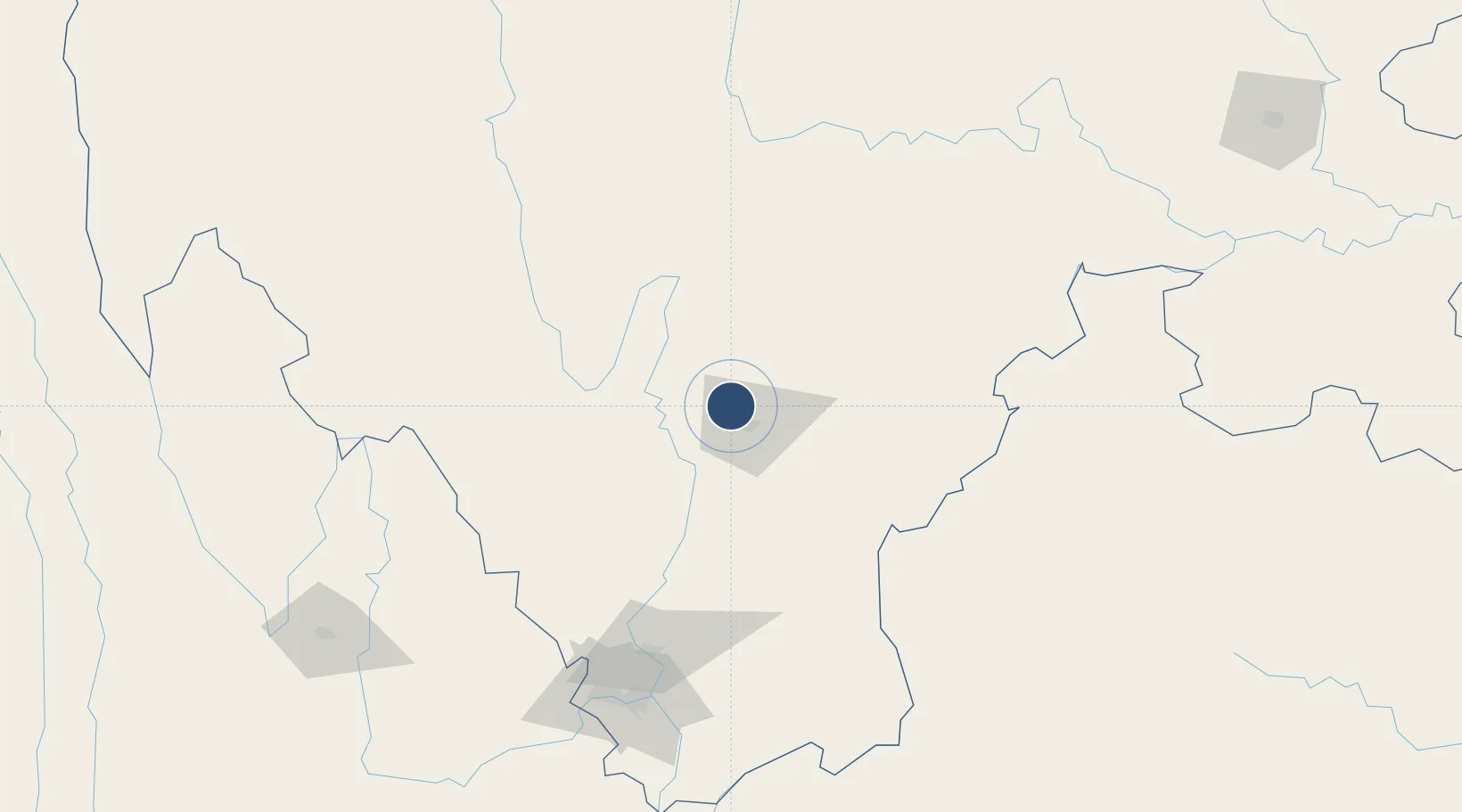
27.9891°, 102.1840°
11,811 ft
Longest runway
1
Runways
5,112 ft
Elevation

Runway & Layout

Xichang Qingshan Airport runway & taxiway layout
Runway & taxiway layout — OpenStreetMap (ODbL) / OurAirports

Radio Frequencies

TWR
130 MHz
XICHANG TWR
OurAirports

Navaids

SB NDB Hexi 319 kHz
XIC VOR-DME Xichang 114.20 MHz
OurAirports

Runways · 1

RunwayDimensions SurfaceTrue headingLit
18/36 11,811 × 164ft Concrete 178°
OurAirports

Airport Specifications

IATA code
XIC
OurAirports
ICAO code
ZUXC
OurAirports
Airport class
Medium airport
OurAirports
Scheduled service
Yes
OurAirports
Runway surface
Concrete
OurAirports
Served city
Liangshan (Xichang)
OurAirports

Location

Location of ZUXC
Natural Earth 10m (public domain) · Sichuan · ZUXC · 27.99, 102.18GoogleOSMYandex

Nearby Logistics Neighbours

Airports
  1. 1Ninglang Luguhu Airport149 km
  2. 2Panzhihua Bao'anying Airport166 km
  3. 3Zhaotong Airport171 km
  4. 4Zhaotong Zhaoyang Airport (Not fully opened)172 km
  5. 5Lijiang Sanyi International Airport241 km
Nearest neighbours — logibook spatial index (haversine) over the source coordinates
Cities
  1. 1Panzhihuazhan165 km
  2. 2Vietnam Lee & Man Port165 km
  3. 3Leshan234 km
  4. 4Yibin254 km
  5. 5Zigong296 km
Nearest neighbours — logibook spatial index (haversine) over the source coordinates
Ports
  1. 1Hai Phong909 km
  2. 2Hon Gai925 km
  3. 3Fang-Cheng931 km
  4. 4Cam Pha934 km
  5. 5Qinzhou949 km
Nearest neighbours — logibook spatial index (haversine) over the source coordinates
DatabookThe Record of Consolidated Knowledge
China beyond logistics?
Browse databook

All Sources

AirportsOurAirports
Public domain
Portsthe NGA World Port Index
Public domain (US gov)
LocationsUN/LOCODE
UN/LOCODE — free
Trade Zonesthe World Bank SEZ database
CC BY 4.0
Trade ZonesOpen Zone Map
CC BY
InfrastructureOpenStreetMap
ODbL 1.0
← China airports